Islamic Association of Raleigh
Islamic Association of Raleigh is a place of worship in Raleigh, Wake, North Carolina. Islamic Association of Raleigh is situated nearby to the place of worship Islamic Center of Raleigh, as well as near the pitch Method Soccer Field.| Tap on a place to explore it |
Places of Interest Nearby
Highlights include JC Raulston Arboretum and Meredith College.
JC Raulston Arboretum
Park

Photo: Wikimedia, Public domain.
The JC Raulston Arboretum is a 10-acre arboretum and botanical garden administered by North Carolina State University, and located in Raleigh, North Carolina. The arboretum is open daily to the public without charge. JC Raulston Arboretum is situated 2,700 feet northwest of Islamic Association of Raleigh.
Meredith College
University

Photo: Abbylabar, CC BY-SA 3.0.
Meredith College is a private women's liberal arts college and coeducational graduate school in Raleigh, North Carolina. As of 2025 Meredith enrolls approximately 1,600 women in its undergraduate programs and 275 men and women in its graduate programs. Meredith College is situated 3,200 feet north of Islamic Association of Raleigh.
J. W. Isenhour Tennis Center

Photo: Pithon314, CC BY-SA 4.0.
The J.W. Isenhour Tennis Center houses the men's and women's tennis programs of North Carolina State University in Raleigh, North Carolina. It is located across the street from Doak Field on the NC State campus. J. W. Isenhour Tennis Center is situated 3,100 feet east of Islamic Association of Raleigh.
Places in the Area
Nearby places include Isabelle Bowen Henderson House and Gardens and Boylan Heights.
Isabelle Bowen Henderson House and Gardens
Neighborhood

Photo: Nyttend, Public domain.
Isabelle Bowen Henderson House and Gardens is a historic home and garden and national historic district located at Raleigh, North Carolina. The main house is a modest 19th century turreted late Victorian period frame cottage, with a Colonial Revival style studio wing and kitchen and dining porch added in 1937. Isabelle Bowen Henderson House and Gardens is situated 1½ miles east of Islamic Association of Raleigh.
Boylan Heights
Neighborhood
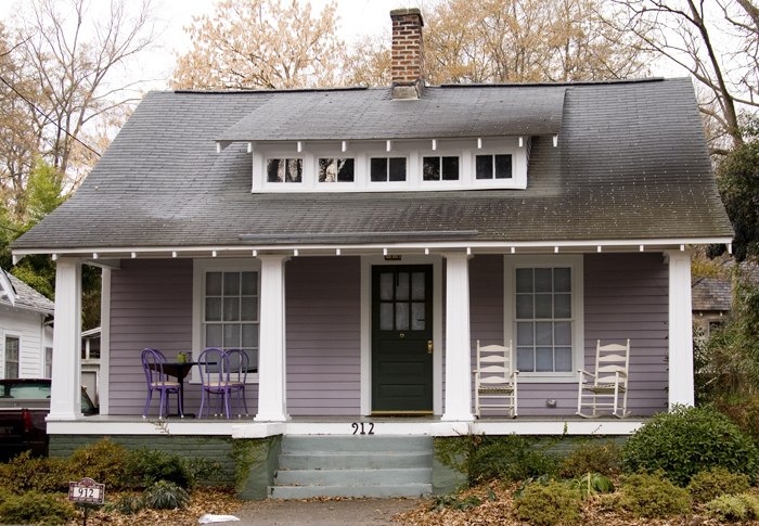
Photo: Aigrette, CC BY-SA 3.0.
Boylan Heights is one of eight historic neighborhoods surrounding downtown Raleigh, North Carolina. Developed in the early 20th century it was one of the earliest planned suburbs in the city. Boylan Heights is situated 2½ miles southeast of Islamic Association of Raleigh.
Historic Oakwood
Neighborhood
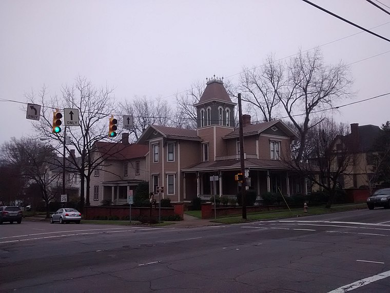
Photo: Mx. Granger, CC0.
Historic Oakwood is a neighborhood in downtown Raleigh, North Carolina, United States, on the National Register of Historic Places, and known for its Historic Oakwood Cemetery, its many Victorian houses and its location close to the Mordecai Plantation Manor. Historic Oakwood is situated 3½ miles east of Islamic Association of Raleigh.
Islamic Association of Raleigh
- Type: Place of worship
- Postal code: 27607
- Category: religion
- Location: Raleigh, Wake, North Carolina, South, United States, North America
- View on OpenStreetMap
Latitude
35.78981° or 35° 47′ 23″ northLongitude
-78.69125° or 78° 41′ 29″ westOpen location code
8773Q8Q5+WGOpenStreetMap ID
node 11453902169OpenStreetMap feature
amenity=place_of_worship
This page is based on OpenStreetMap, Wikidata, and Wikimedia Commons.
We’d love your help improving our open data sources. Thank you for contributing.
Satellite Map
Discover Islamic Association of Raleigh from above in high-definition satellite imagery.
Notable Places Nearby
Highlights include Islamic Association of Raleigh and Islamic Center of Raleigh.
Nearby Places
Explore places such as Northampton and Onslow.
North Carolina: Must-Visit Destinations
Delve into Charlotte, Asheville, Greensboro, and Durham.
Curious Place Of Worships to Discover
Uncover intriguing place of worships from every corner of the globe.
About Mapcarta. Data © OpenStreetMap contributors and available under the Open Database License". Text is available under the CC BY-SA 4.0 license, except for photos, directions, and the map. Photo: Jmalljmall, Public domain.