BP
BP is a gas station in King & Queen, Virginia. BP is situated nearby to the hamlet Snow Hill, as well as near Mattaponi.| Tap on a place to explore it |
Places of Interest Nearby
Highlights include West Point High School.
West Point High School
School building
West Point High School is a four-year public high school located in West Point, Virginia serving the surrounding geographic area of 6.31 square miles. School aged children living outside the town of West Point are encouraged to apply as tuition students. West Point High School is situated 2½ miles northwest of BP.
Places in the Area
Nearby places include Snow Hill and Mattaponi.
Snow Hill
Hamlet
Snow Hill is an unincorporated community in King and Queen County, Virginia, United States.
Mattaponi
Hamlet
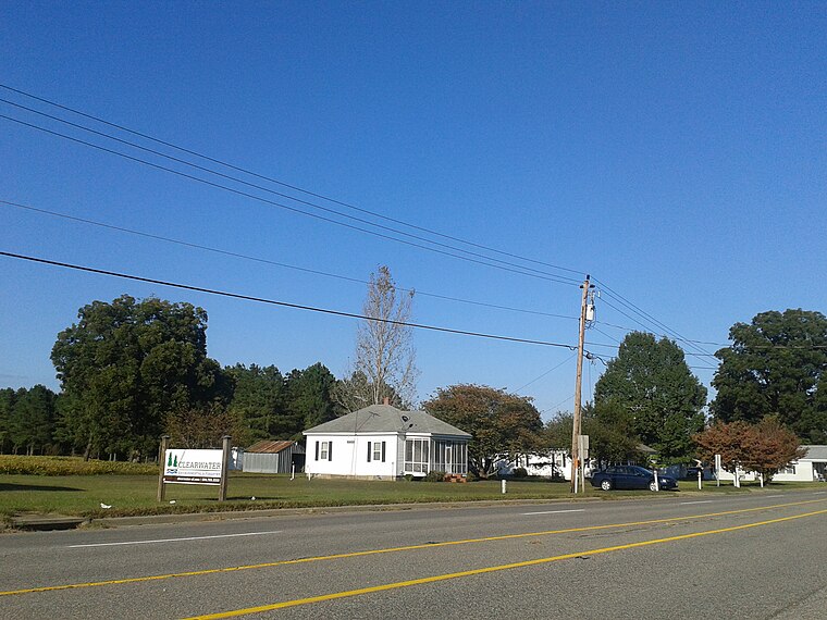
Photo: Ser Amantio di Nicolao, CC BY-SA 4.0.
Mattaponi is an unincorporated community in King and Queen County, Virginia, United States. The main roads in Mattaponi are SR 33 and SR 605.
Brookeshire
Hamlet
Brookeshire is an unincorporated community in King and Queen County, Virginia, United States.
BP
- Type: Gas station
- Category: transportation
- Location: King & Queen, Virginia, South, United States, North America
- View on OpenStreetMap
Latitude
37.53933° or 37° 32′ 22″ northLongitude
-76.75818° or 76° 45′ 29″ westBrand
BPOpen location code
8795G6QR+PPOpenStreetMap ID
node 11459527186OpenStreetMap feature
amenity=fuel
This page is based on OpenStreetMap, Wikidata, and Wikimedia Commons.
We’d love your help improving our open data sources. Thank you for contributing.
Satellite Map
Discover BP from above in high-definition satellite imagery.
Notable Places Nearby
Highlights include Mattaponi Post Office and Middle Peninsula Regional Airport.
Nearby Places
Explore places such as Sunnyside Food Mart and ASB Greenworld.
Virginia: Must-Visit Destinations
Delve into Richmond, Arlington, Virginia Beach, and Norfolk.
Curious Gas Stations to Discover
Uncover intriguing gas stations from every corner of the globe.
About Mapcarta. Data © OpenStreetMap contributors and available under the Open Database License". Text is available under the CC BY-SA 4.0 license, except for photos, directions, and the map. Photo: Wikimedia, CC0.