Freiwillige Feuerwehr Hochdorf
Freiwillige Feuerwehr Hochdorf is a fire station in Bischofsmais, Regen, Bavaria which is located on Regener Straße. Freiwillige Feuerwehr Hochdorf is situated nearby to the fire station Freiwillige Feuerwehr Bischofsmais, as well as near the peak Hieselberg.| Tap on a place to explore it |
- Email: info@ffwhochdorf.de
- Type: Fire station
- Address: Regener Straße 9
Places of Interest Nearby
Highlights include St. Jakobus der Ältere and Teufelstisch.
St. Jakobus der Ältere
Church
 St. Jakobus der Ältere is a church, which is situated 610 metres northwest of Freiwillige Feuerwehr Hochdorf.
Teufelstisch
Peak

Photo: Hagen Graebner, CC BY 2.5.
Teufelstisch is a mountain of Bavaria, Germany. Teufelstisch is situated 2½ km northwest of Freiwillige Feuerwehr Hochdorf.
Geißkopf
Peak

Photo: MisterPicture, CC BY-SA 3.0.
The Geißkopf is a mountain, 1,097.4 m above sea level, in the Bavarian Forest in Germany. Geißkopf is situated 4 km west of Freiwillige Feuerwehr Hochdorf.
Places in the Area
Nearby places include Sankt Hermann and Großseiboldsried.

Großseiboldsried
Hamlet
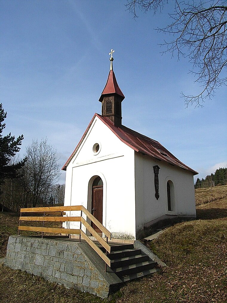
Photo: Konrad Lackerbeck, CC BY 3.0.
Großseiboldsried is a hamlet, which is situated 3½ km northeast of Freiwillige Feuerwehr Hochdorf.
Zell
Village

Photo: Konrad Lackerbeck, CC0.
Zell is a village, which is situated 3½ km east of Freiwillige Feuerwehr Hochdorf.
Freiwillige Feuerwehr Hochdorf
- Location: Bischofsmais, Regen, Lower Bavaria, Bavaria, Germany, Central Europe, Europe
- View on OpenStreetMap
Latitude
48.9144° or 48° 54′ 52″ northLongitude
13.08864° or 13° 5′ 19″ eastOpen location code
8FWMW37Q+QFOpenStreetMap ID
node 11460800955OpenStreetMap feature
amenity=fire_station
This page is based on OpenStreetMap, Wikidata, and Wikimedia Commons.
We’d love your help improving our open data sources. Thank you for contributing.
Satellite Map
Discover Freiwillige Feuerwehr Hochdorf from above in high-definition satellite imagery.
Places with the Same Name
Discover other places named “Freiwillige Feuerwehr Hochdorf”.
Notable Places Nearby
Highlights include Freiwillige Feuerwehr Bischofsmais and Hieselberg.
Nearby Places
Explore places such as Ginselried, Feuerwehrhaus and Avia.
Lower Bavaria: Must-Visit Destinations
Delve into Passau, Landshut, Straubing, and Deggendorf.
Curious Fire Stations to Discover
Uncover intriguing fire stations from every corner of the globe.
About Mapcarta. Data © OpenStreetMap contributors and available under the Open Database License". Text is available under the CC BY-SA 4.0 license, except for photos, directions, and the map. Photo: Wikimedia, CC0.