KickerClub München
KickerClub München is in Munich, Upper Bavaria, Bavaria, and is located on Brecherspitzstraße. KickerClub München is situated nearby to the church Maria Königin des Friedens (München), as well as near the building Pfarrhaus Werinherstraße 50 in München.| Tap on a place to explore it |
- Opening hours: Wednesday 7:30 PM—midnight
- Type: Sports location
- Address: Brecherspitzstraße 8, München, 81541
Places of Interest Nearby
Highlights include Maria Königin des Friedens (München) and Untersbergstraße station.
Maria Königin des Friedens (München)
Church

Photo: O DM, CC BY-SA 3.0 de.
Maria Königin des Friedens (München) is a church.
Untersbergstraße station
Metro station
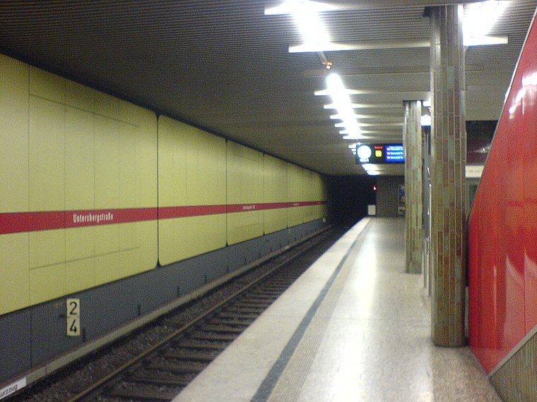
Photo: Mattes, Public domain.
Untersbergstraße is an U-Bahn station in Munich on the U2 and U7. It is located in Giesing. Untersbergstraße station is situated 360 metres south of KickerClub München.
train station Munich Giesing
Railway station

Photo: Rufus46, CC BY-SA 3.0.
Munich-Giesing station is a railway station in the district of Obergiesing in the Bavarian state capital of Munich. It is also a station for the Munich S-Bahn and the Munich U-Bahn. train station Munich Giesing is situated 700 metres southeast of KickerClub München.
Places in the Area
Nearby places include Obergiesing and Au (Munich).

Au (Munich)
Suburb

Photo: Softeis, CC BY-SA 3.0.
Au is a district in the south eastern plain tract of the German city of Munich in Bavaria. Au extends from the Deutsches Museum in the north and along the Isar up to Wittelsbacherbrücke in the south.
Giesing
Suburb
Giesing was a Bavarian town founded in 790. The town was incorporated by the city of Munich in October 1854. Since then, it is a borough of the metropolis.
KickerClub München
- Location: Munich, Upper Bavaria, Bavaria, Germany, Central Europe, Europe
- View on OpenStreetMap
Latitude
48.11558° or 48° 6′ 56″ northLongitude
11.58935° or 11° 35′ 22″ eastOperator
KickerClub München e.V.Open location code
8FWH4H8Q+6POpenStreetMap ID
node 11545793088OpenStreetMap feature
sport=foosballOpenStreetMap feature
sport=table_soccerOpenStreetMap feature
sport=kickernOpenStreetMap feature
sport=tischfußball
This page is based on OpenStreetMap, Wikidata, and Wikimedia Commons.
We’d love your help improving our open data sources. Thank you for contributing.
Satellite Map
Discover KickerClub München from above in high-definition satellite imagery.
Notable Places Nearby
Highlights include Pfarrhaus Werinherstraße 50 in München and Asam-Gymnasium München.
Nearby Places
Explore places such as Fairkauf Handelskontor eG and Tu Bao Bistro.
Munich: Must-Visit Destinations
Delve into North Munich, Altstadt, Haidhausen, and Ludwigsvorstadt-Isarvorstadt.
Curious Places to Discover
Uncover intriguing places from every corner of the globe.
About Mapcarta. Data © OpenStreetMap contributors and available under the Open Database License". Text is available under the CC BY-SA 4.0 license, except for photos, directions, and the map. Photo: Heav84, CC BY-SA 3.0.