GTMS Langobardenstraße
GTMS Langobardenstraße is a school in Vienna, Austria which is located on Langobardenstraße. GTMS Langobardenstraße is situated nearby to the tram stop Wien Kapellenweg, as well as near the recreation area Waldspielplatz Bertl Schulz/Hammerfestweg.| Tap on a place to explore it |
- Email: direktion.922192@schule.wien.gv.at
- Type: School
- Address: Langobardenstraße 135, Wien, 1220
Places of Interest Nearby
Highlights include Seelsorgezentrum St. Katharina von Siena and Donauspital station.
Seelsorgezentrum St. Katharina von Siena
Community center

Photo: Invisigoth67, CC BY-SA 3.0.
Seelsorgezentrum St. Katharina von Siena is a community center, which is situated 410 metres southeast of GTMS Langobardenstraße.
Donauspital station
Metro station
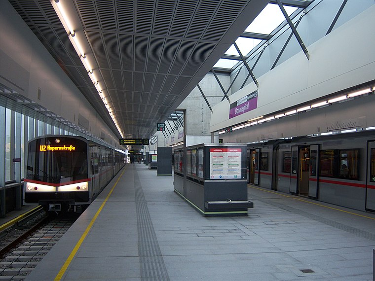
Photo: My Friend, CC BY-SA 3.0.
Donauspital is a station on the U2 of the Vienna U-Bahn. It is located in Aspern, Donaustadt, the 22nd district of Vienna. The station was opened in 2010 as part of the third expansion of the U2 between Stadion and Aspernstraße. Donauspital station is situated 350 metres west of GTMS Langobardenstraße.
Aspernstraße station
Metro station

Photo: My Friend, CC BY-SA 3.0.
Aspernstraße is a station on the U2 of the Vienna U-Bahn. It is located in Aspern, Donaustadt, the 22nd district of Vienna. The station was opened on 2 October 2010 as part of the third expansion of the U2 between Stadion and Aspernstraße. Aspernstraße station is situated 490 metres northeast of GTMS Langobardenstraße.
Places in the Area
Nearby places include Wulzendorf and Seestadt Aspern.

Seestadt Aspern
Suburb
 Seestadt Aspern is a significant urban development project under construction within the Vienna's 22nd city district, Donaustadt, Vienna, Austria. It is one of the largest ongoing urban development projects in Europe. Seestadt Aspern is situated 2½ km east of GTMS Langobardenstraße.
Stuwerviertel
Neighborhood

Photo: Wikimedia, Public domain.
Stuwerviertel is a neighborhood, which is situated 5 km west of GTMS Langobardenstraße.
GTMS Langobardenstraße
- Category: education
- Location: Vienna, Austria, Central Europe, Europe
- View on OpenStreetMap
Latitude
48.21894° or 48° 13′ 8″ northLongitude
16.47126° or 16° 28′ 17″ eastOpen location code
8FWR6F9C+HGOpenStreetMap ID
node 11606189718OpenStreetMap feature
amenity=school
This page is based on OpenStreetMap, Wikidata, and Wikimedia Commons.
We’d love your help improving our open data sources. Thank you for contributing.
Satellite Map
Discover GTMS Langobardenstraße from above in high-definition satellite imagery.
Notable Places Nearby
Highlights include Wien Kapellenweg and Waldspielplatz Bertl Schulz/Hammerfestweg.
Nearby Places
Explore places such as GTVS Langobardenstraße and Antonia-Bruha-Schule.
Vienna: Must-Visit Destinations
Delve into Innere Stadt, Vienna International Airport, Inner East, and Hietzing.
Curious Schools to Discover
Uncover intriguing schools from every corner of the globe.
About Mapcarta. Data © OpenStreetMap contributors and available under the Open Database License". Text is available under the CC BY-SA 4.0 license, except for photos, directions, and the map. Photo: Jebulon, CC0.