ΚΕΠ ΑΓΡΙΝΙΟΥ
ΚΕΠ ΑΓΡΙΝΙΟΥ is a government office in Agrinio, West Central Greece, West Greece which is located on ΓΕΩΡΓΙΟΥ ΚΑΡΑΠΑΠΑ. ΚΕΠ ΑΓΡΙΝΙΟΥ is situated nearby to the recreation area Πλατεία Φλέμιγκ, as well as near Πλατεία Ξηρομέρου.| Tap on a place to explore it |
- Email: n.aitoloakarnania-agrinio@kep.gov.gr
- Type: Government office
- Address: ΓΕΩΡΓΙΟΥ ΚΑΡΑΠΑΠΑ 7, 30132
Places of Interest Nearby
Highlights include Archaeological Museum of Agrinio and Dimokratias Square.
Archaeological Museum of Agrinio
Museum
The Archaeological Museum of Agrinio is a museum in the city of Agrinio in Aetolia-Acarnania, in Greece. It lies next to the Papastrateio Municipal Park and features artifacts dating back to Antiquity and Roman times from the area around Agrinio. Archaeological Museum of Agrinio is situated 360 metres north of ΚΕΠ ΑΓΡΙΝΙΟΥ.
Dimokratias Square
Recreation area
Dimokratias Square is the central square of the city of Agrinio. The square was created in 1879 when Michail Bellos was mayor, and was long named Bellou Square after him. Dimokratias Square is situated 290 metres south of ΚΕΠ ΑΓΡΙΝΙΟΥ.
Archontiko Sochoriti
Manor estate

Photo: C messier, CC BY-SA 4.0.
Archontiko Sochoriti is a manor estate, which is situated 320 metres southeast of ΚΕΠ ΑΓΡΙΝΙΟΥ.
Places in the Area
Nearby places include Triantaiika and Stratos.
Triantaiika
Village
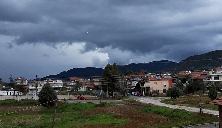
Photo: GeoAgrin, CC BY-SA 4.0.
Triantaiika is a village, which is situated 4 km northwest of ΚΕΠ ΑΓΡΙΝΙΟΥ.
Stratos
Village
Stratos is a settlement in central Aetolia-Acarnania, Western Greece. It is best known for its remains of the namesake ancient Greek city and capital of Acarnania, which lie on a hillside about 500m north of the modern village. Stratos is situated 9 km northwest of ΚΕΠ ΑΓΡΙΝΙΟΥ.
Paravola
Village

Photo: Naklig, CC BY-SA 3.0.
Paravola is a village, which is situated 10 km east of ΚΕΠ ΑΓΡΙΝΙΟΥ.
ΚΕΠ ΑΓΡΙΝΙΟΥ
- Categories: office and government building
- Location: Agrinio, West Central Greece, West Greece, Central Greece, Greece, Balkans, Europe
- View on OpenStreetMap
Latitude
38.6274° or 38° 37′ 39″ northLongitude
21.40954° or 21° 24′ 34″ eastOpen location code
8GC3JCG5+XROpenStreetMap ID
node 11614902227OpenStreetMap feature
office=government
This page is based on OpenStreetMap, Wikidata, and Wikimedia Commons.
We’d love your help improving our open data sources. Thank you for contributing.
Satellite Map
Discover ΚΕΠ ΑΓΡΙΝΙΟΥ from above in high-definition satellite imagery.
Notable Places Nearby
Highlights include Πλατεία Φλέμιγκ and Πλατεία Ξηρομέρου.
Nearby Places
Explore places such as BSB Fashion and Καλντερίμι.
West Central Greece: Must-Visit Destinations
Delve into Delphi, Thebes, Lamia, and Itea.
Curious Government Offices to Discover
Uncover intriguing government offices from every corner of the globe.
About Mapcarta. Data © OpenStreetMap contributors and available under the Open Database License". Text is available under the CC BY-SA 4.0 license, except for photos, directions, and the map. Photo: Wikimedia, CC0.