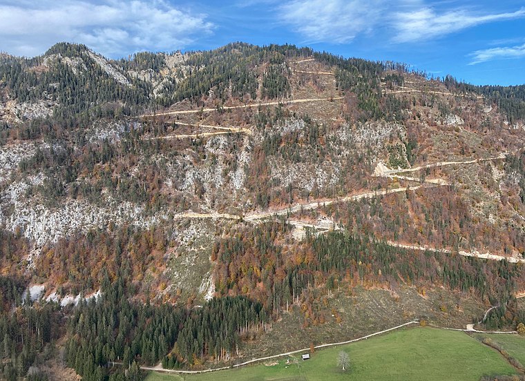
Rossmannbichl
Rossmannbichl is a peak in Gitschtal, Hermagor District, Carinthia and has an elevation of 763 metres. Rossmannbichl is situated nearby to the locality Gamitze, as well as near Langwiesen.| Tap on a place to explore it |
Places of Interest
Highlights include Hühnernock and Pfarrkirche Sankt Lorenzen im Gitschtal.


Places in the Area
Nearby places include Rattendorf and Watschig.


Rossmannbichl
- Type: Peak with an elevation of 763 metres
- Category: landform
- Location: Gitschtal, Hermagor District, Carinthia, Austria, Central Europe, Europe
- View on OpenStreetMap
Latitude
46.6774° or 46° 40′ 39″ northLongitude
13.283° or 13° 16′ 59″ eastElevation
763 metres (2,503 feet)Open location code
8FRMM7GM+X6OpenStreetMap ID
node 11642458150OpenStreetMap feature
natural=peak
This page is based on OpenStreetMap, Wikidata, and Wikimedia Commons.
We’d love your help improving our open data sources. Thank you for contributing.
Satellite Map
Discover Rossmannbichl from above in high-definition satellite imagery.
Localities in the Area
Explore places such as Gamitze and Langwiesen.
Notable Places Nearby
Highlights include Reiterhof Golz and Fussballplatz.
Carinthia: Must-Visit Destinations
Delve into Klagenfurt, Villach, Wörthersee, and Spittal an der Drau.
Curious Peaks to Discover
Uncover intriguing peaks from every corner of the globe.
About Mapcarta. Data © OpenStreetMap contributors and available under the Open Database License". Text is available under the CC BY-SA 4.0 license, except for photos, directions, and the map. Photo: Wikimedia, CC BY-SA 3.0.