Feuerstelle Dünnbrunnen
Feuerstelle Dünnbrunnen is a picnic site in Otelfingen, Dielsdorf, Canton of Zurich. Feuerstelle Dünnbrunnen is situated nearby to the fountain Affenbrünneli, as well as near the pond Eigi Weiher.| Tap on a place to explore it |
Places of Interest Nearby
Highlights include Lägern and Ruine Alt-Lägern.
Lägern
Peak

Photo: Caumasee, Public domain.
The Lägern is a 866 m high, wooded mountain of the Jura Mountains, stretching from Baden to Dielsdorf, which is located about 15 km north-west of Zurich.
Ruine Alt-Lägern
Castle

Photo: Roland zh, CC BY-SA 3.0.
Ruine Alt-Lägern is a castle, which is situated 2 km east of Feuerstelle Dünnbrunnen.
Otelfingen railway station
Railway station

Photo: Lantus, CC BY-SA 3.0.
Otelfingen is a railway station in the Swiss canton of Zurich, in the municipality of Otelfingen. The station is located on the Furttal railway line between Wettingen and Zurich Oerlikon stations. Otelfingen railway station is situated 3 km southeast of Feuerstelle Dünnbrunnen.
Places in the Area
Nearby places include Boppelsen and Dachslern.
Boppelsen
Village

Photo: Paebi, CC BY-SA 3.0.
Boppelsen is a municipality in the district of Dielsdorf in the canton of Zürich in Switzerland. Boppelsen is situated 2½ km east of Feuerstelle Dünnbrunnen.
Dachslern
Village

Photo: Roland zh, CC BY-SA 3.0.
Dachslern is a village, which is situated 2½ km northeast of Feuerstelle Dünnbrunnen.
Oberehrendingen
Neighborhood
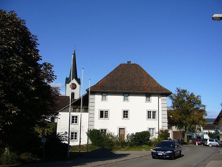
Photo: Berger, Public domain.
Oberehrendingen is a neighborhood, which is situated 3 km northwest of Feuerstelle Dünnbrunnen.
Feuerstelle Dünnbrunnen
- Type: Picnic site
- Category: tourism
- Location: Otelfingen, Dielsdorf, Canton of Zurich, Switzerland, Central Europe, Europe
- View on OpenStreetMap
Latitude
47.47714° or 47° 28′ 38″ northLongitude
8.37128° or 8° 22′ 17″ eastOpen location code
8FVCF9GC+VGOpenStreetMap ID
node 11688429274OpenStreetMap feature
tourism=picnic_site
This page is based on OpenStreetMap, Wikidata, and Wikimedia Commons.
We’d love your help improving our open data sources. Thank you for contributing.
Satellite Map
Discover Feuerstelle Dünnbrunnen from above in high-definition satellite imagery.
Notable Places Nearby
Highlights include Affenbrünneli and Brunnen.
Nearby Places
Explore places such as Isloch and Jagdhütte Zindeln.
Switzerland: Must-Visit Destinations
Delve into Zurich, Berne, Geneva, and Basel.
Curious Picnic Sites to Discover
Uncover intriguing picnic sites from every corner of the globe.
About Mapcarta. Data © OpenStreetMap contributors and available under the Open Database License". Text is available under the CC BY-SA 4.0 license, except for photos, directions, and the map. Photo: Wikimedia, CC0.