Lower Thornburg
Lower Thornburg is a neighborhood in Borough of Thornburg, Allegheny County, Pennsylvania. Lower Thornburg is situated nearby to the locality Lewis Run Junction, as well as near the neighborhood Upper Thornburg.| Tap on a place to explore it |
Places of Interest
Highlights include Idlewood station and Saint Peter and Saint Paul Ukrainian Orthodox Church.
Idlewood station
Bus station
Idlewood station is an elevated busway station operated by Pittsburgh Regional Transit near the East Carnegie and Oakwood neighborhoods of Pittsburgh, Pennsylvania.
Saint Peter and Saint Paul Ukrainian Orthodox Church
Church
 Saint Peter and Saint Paul Ukrainian Orthodox Church is situated 1½ miles south of Lower Thornburg.
Carlynton Junior/Senior High School
School building
Carlynton Junior/Senior High School is a public school located in Robinson Township in Allegheny County, Pennsylvania.
Places in the Area
Nearby places include Rosslyn Farms and Green Tree.
Rosslyn Farms
Village

Photo: Generic1139, CC BY-SA 3.0.
Rosslyn Farms is a suburban borough located 5 miles west of Pittsburgh in Allegheny County, Pennsylvania, United States. It is a small community, with an area of only 0.6 square miles. The population was 441 at the 2020 census.
Green Tree
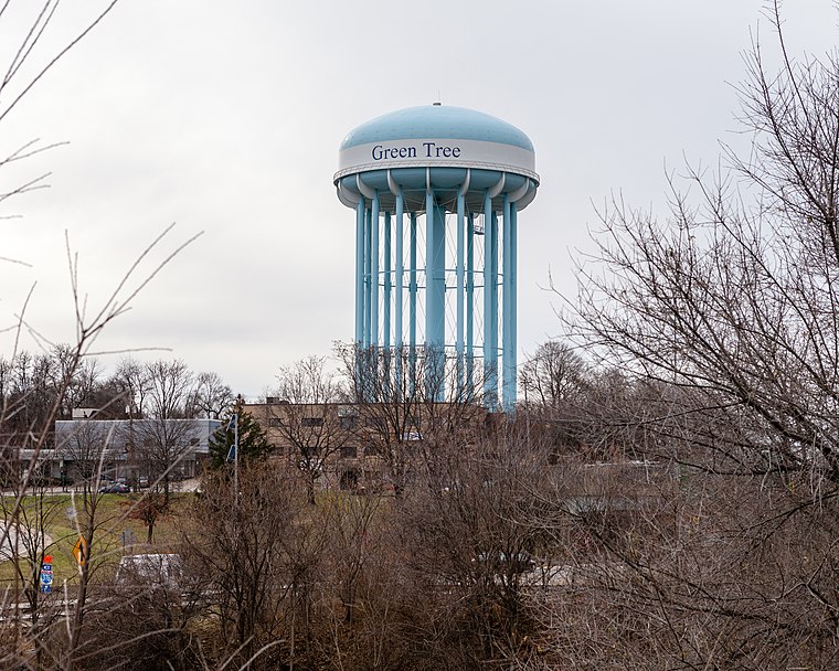
Photo: Generic1139, CC BY-SA 3.0.
Green Tree is a borough of Allegheny County, near Pittsburgh. It is located along I-376, between Pittsburgh to the east and Robinson Township and the Pittsburgh International Airport to the west.
Moon Run
Hamlet
Moon Run is an unincorporated community and coal town in Kennedy and Robinson townships, Allegheny County, Pennsylvania, United States. It runs roughly between Route 60 in Robinson Township, PA, down the length of Moon Run Road, where it merges with Aiken Road. Moon Run is situated 2 miles northwest of Lower Thornburg.
Lower Thornburg
- Type: Neighborhood
- Category: locality
- Location: Borough of Thornburg, Allegheny County, Pittsburgh Region, Pennsylvania, Mid-Atlantic, United States, North America
- View on OpenStreetMap
Latitude
40.4322° or 40° 25′ 56″ northLongitude
-80.08341° or 80° 5′ 0″ westOpen location code
86GXCWJ8+VJOpenStreetMap ID
node 11746597029OpenStreetMap feature
place=neighbourhood
This page is based on OpenStreetMap, Wikidata, and Wikimedia Commons.
We’d love your help improving our open data sources. Thank you for contributing.
Satellite Map
Discover Lower Thornburg from above in high-definition satellite imagery.
Localities in the Area
Explore places such as Thornburg and Lewis Run Junction.
Notable Places Nearby
Highlights include Thornburg Theater and Thornburg Library.
Allegheny County: Must-Visit Destinations
Delve into Pittsburgh, Oakland, Downtown Pittsburgh, and South Side.
Curious Neighborhoods to Discover
Uncover intriguing neighborhoods from every corner of the globe.
About Mapcarta. Data © OpenStreetMap contributors and available under the Open Database License". Text is available under the CC BY-SA 4.0 license, except for photos, directions, and the map. Photo: Albright.kevin.s, CC BY-SA 3.0.