Steinfurter Kiosk
Steinfurter Kiosk is a kiosk in Dortmund, Arnsberg, North Rhine-Westphalia which is located on Steinfurtweg. Steinfurter Kiosk is situated nearby to the cemetery Friedhof Kirchlinde, as well as near the hospital Katholisches Krankenhaus Dortmund-West.| Tap on a place to explore it |
Places of Interest Nearby
Highlights include Bert-Brecht-Gymnasium and St. Josef.
Bert-Brecht-Gymnasium
School
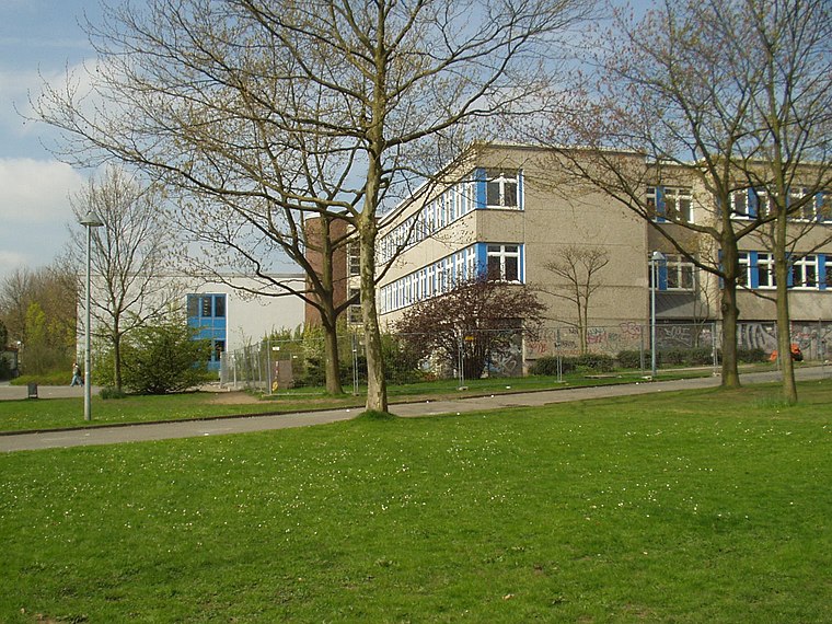
Photo: Wikimedia, CC BY-SA 3.0.
Bert-Brecht-Gymnasium is a school, which is situated 500 metres south of Steinfurter Kiosk.

Dortmund-Marten station
Railway station

Photo: Stefan Flöper, CC BY-SA 4.0.
Dortmund-Marten station is a railway station in the Marten district of the town of Dortmund, located in North Rhine-Westphalia, Germany. It is classified by Deutsche Bahn as a category 6 station and was opened on 30 May 1964. Dortmund-Marten station is situated 1¼ km southeast of Steinfurter Kiosk.
Places in the Area
Nearby places include Kolonie Landwehr and Westerfilde.


Huckarde
Suburb

Photo: Tbachner, Public domain.
Huckarde is a suburb, which is situated 4 km east of Steinfurter Kiosk.
Steinfurter Kiosk
- Type: Kiosk
- Address: Steinfurtweg 30, Dortmund, 44379
- Categories: post office and shop
- Location: Dortmund, Arnsberg, Ruhr, North Rhine-Westphalia, Germany, Central Europe, Europe
- View on OpenStreetMap
Latitude
51.52212° or 51° 31′ 20″ northLongitude
7.36344° or 7° 21′ 48″ eastOpen location code
9F39G9C7+R9OpenStreetMap ID
node 11796102829OpenStreetMap feature
amenity=post_officeOpenStreetMap feature
shop=kiosk
This page is based on OpenStreetMap, Wikidata, and Wikimedia Commons.
We’d love your help improving our open data sources. Thank you for contributing.
Satellite Map
Discover Steinfurter Kiosk from above in high-definition satellite imagery.
Notable Places Nearby
Highlights include Friedhof Kirchlinde and Katholisches Krankenhaus Dortmund-West.
Nearby Places
Explore places such as Kath. Familienzentrum Campus St. Josef and Siepmannstraße.
Ruhr: Must-Visit Destinations
Delve into Essen, Duisburg, Gelsenkirchen, and Bochum.
Curious Kiosks to Discover
Uncover intriguing kiosks from every corner of the globe.
About Mapcarta. Data © OpenStreetMap contributors and available under the Open Database License". Text is available under the CC BY-SA 4.0 license, except for photos, directions, and the map. Photo: DortmunderWestfront, CC BY-SA 3.0.