Buses El Valle
Buses El Valle is a bus stop in Municipio Libertador, Mérida. Buses El Valle is situated nearby to the church Iglesia Perpetuo Socorro, as well as near the museum Antigua Casa de los Gobernadores.| Tap on a place to explore it |
Places of Interest Nearby
Highlights include Cathedral Basilica of Mérida, Venezuela and Heladería Coromoto.
Cathedral Basilica of Mérida, Venezuela

Photo: Venlur, CC BY-SA 4.0.
The Cathedral Basilica of the Immaculate Conception or Metropolitan Cathedral of Mérida is a religious building of the Roman Catholic church located in the city of Mérida in western Venezuela, in the state of the same name, part of the Andean region in that country. Cathedral Basilica of Mérida, Venezuela is situated 380 metres south of Buses El Valle.
Heladería Coromoto
Ice cream parlor
Heladería Coromoto, commonly known as Coromoto, is an ice cream parlor in Merida, Venezuela, known for offering 860 flavors, a former Guinness World Record. Heladería Coromoto is situated 1 km southwest of Buses El Valle.
Alberto Carnevalli Airport
Aerodrome
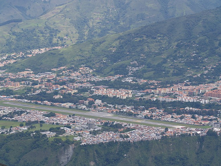
Photo: Wikimedia, Public domain.
Alberto Carnevalli Airport is an airport located 3 km southwest of downtown Mérida, the capital of Mérida State in Venezuela. It is named in honor of Alberto Carnevalli, a Venezuelan lawyer and political activist. Alberto Carnevalli Airport is situated 3 km southwest of Buses El Valle.
Places in the Area
Nearby places include Mérida.
Mérida

Photo: venex, CC BY-SA 2.0.
Mérida the capital of Mérida State, is located in Venezuela, at the foot of the Andes, 15 kilometers from Venezuela's highest point. It is the centre for outdoor activities in Venezuela.
Buses El Valle
- Type: Bus stop
- Category: transportation
- Location: Municipio Libertador, Mérida, Andes, Venezuela, South America
- View on OpenStreetMap
Latitude
8.60024° or 8° 36′ 1″ northLongitude
-71.14293° or 71° 8′ 35″ westOpen location code
67WCJV24+3ROpenStreetMap ID
node 1179711704OpenStreetMap feature
highway=bus_stop
This page is based on OpenStreetMap, Wikidata, and Wikimedia Commons.
We’d love your help improving our open data sources. Thank you for contributing.
Satellite Map
Discover Buses El Valle from above in high-definition satellite imagery.
Notable Places Nearby
Highlights include Iglesia Perpetuo Socorro and Antigua Casa de los Gobernadores.
Nearby Places
Explore places such as Audio Arte and Farmacia Apolo.
Mérida: Must-Visit Destinations
Delve into Mérida, Santo Domingo, and El Vigía.
Curious Bus Stops to Discover
Uncover intriguing bus stops from every corner of the globe.
About Mapcarta. Data © OpenStreetMap contributors and available under the Open Database License". Text is available under the CC BY-SA 4.0 license, except for photos, directions, and the map. Photo: Wikimedia, CC0.