Vodárka
Vodárka is a peak in Světlá Hora, Bruntál District, Moravian-Silesian Region and has an elevation of 679 metres. Vodárka is situated nearby to the hamlet Stará Voda, as well as near the village Světlá Hora.| Tap on a place to explore it |
Places of Interest
Highlights include Anenský vrch and Světlá Hora (train station).
Anenský vrch
Peak
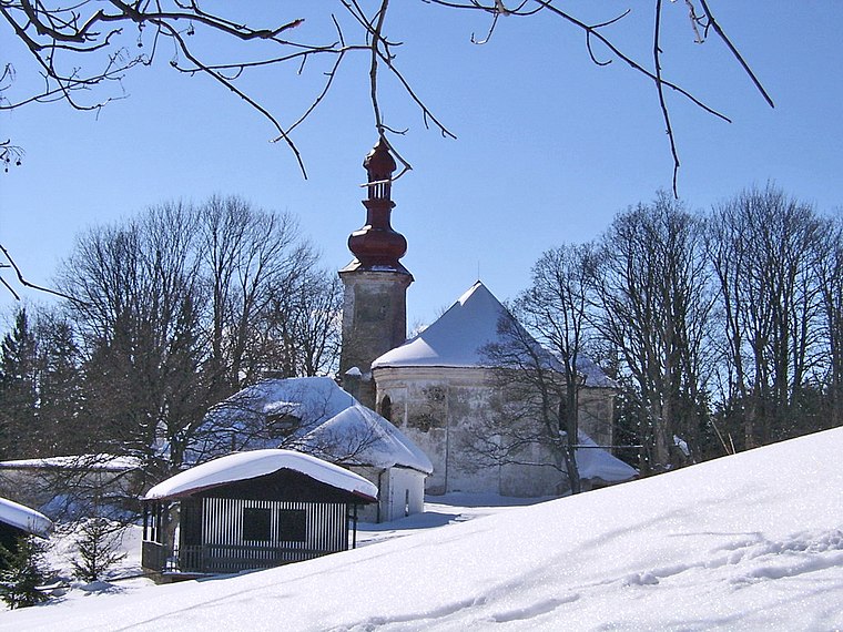
Photo: Bertik, CC BY-SA 3.0.
Anenský vrch is a mountain in the Hrubý Jeseník mountain range in the Czech Republic. It has an elevation of 861 m above sea level. It is located in the municipal territory of Andělská Hora.
Světlá Hora (train station)
Railway station

Photo: Jagro, CC BY-SA 3.0.
Světlá Hora (train station) is a railway station.
Places in the Area
Nearby places include Světlá Hora and Andělská Hora.
Světlá Hora
Village

Photo: Jagro, CC BY-SA 3.0.
Světlá Hora is a municipality in Bruntál District in the Moravian-Silesian Region of the Czech Republic. It has about 1,400 inhabitants.
Andělská Hora
Village

Photo: Gaj777, CC BY-SA 4.0.
Andělská Hora is a town in Bruntál District in the Moravian-Silesian Region of the Czech Republic. It has about 400 inhabitants.

Vodárka
- Type: Peak with an elevation of 679 metres
- Category: landform
- Location: Světlá Hora, Bruntál District, Moravian-Silesian Region, Czech Republic, Central Europe, Europe
- View on OpenStreetMap
Latitude
50.0509° or 50° 3′ 3″ northLongitude
17.391° or 17° 23′ 28″ eastElevation
679 metres (2,228 feet)Open location code
9F2V392R+9COpenStreetMap ID
node 11817236828OpenStreetMap feature
natural=peak
This page is based on OpenStreetMap, Wikidata, and Wikimedia Commons.
We’d love your help improving our open data sources. Thank you for contributing.
Satellite Map
Discover Vodárka from above in high-definition satellite imagery.
Localities in the Area
Explore places such as Stará Voda and Světlá.
Notable Places Nearby
Highlights include Dostihové centrum Olehla and Hasičské hřiště.
Czech Republic: Must-Visit Destinations
Delve into Prague, Brno, Pilsen, and Ostrava.
Curious Peaks to Discover
Uncover intriguing peaks from every corner of the globe.
About Mapcarta. Data © OpenStreetMap contributors and available under the Open Database License". Text is available under the CC BY-SA 4.0 license, except for photos, directions, and the map. Photo: john mcsporran, CC BY 2.0.