La Féronde du Loup
La Féronde du Loup is a locality in Martigny-Combe, Martigny District, Valais. La Féronde du Loup is situated nearby to the village Le Fays, as well as near the locality Le Châtelard.| Tap on a place to explore it |
Places of Interest
Highlights include Saint-Jean chapel and Mont de l’Arpille.

Mont de l’Arpille
Peak
Mont de l'Arpille is a mountain of the Alps, located south-west of Martigny in the Swiss canton of Valais. It is located north of the Col de la Forclaz and geographically part of the Mont Blanc massif.
Col de la Forclaz
Mountain saddle

Photo: Idéfix, CC BY-SA 3.0.
Col de la Forclaz is a mountain pass in the Alps in the Canton of Valais in Switzerland. It connects Martigny at 471 m and Le Châtelard. The road from Martigny to the Col has an average gradient of 6% but in parts is closer to 8%. Col de la Forclaz is situated 3 km southwest of La Féronde du Loup.
Places in the Area
Nearby places include Gorges du Durnand and Trient.
Gorges du Durnand
Locality

Photo: Gaelbourgeois, CC BY-SA 4.0.
Gorges du Durnand is a locality, which is situated 3 km east of La Féronde du Loup.
Trient
Village

Photo: Nicolas Vigier, CC BY 2.0.
Trient is a municipality in the district of Martigny in the canton of Valais in Switzerland. Trient is situated 3½ km southwest of La Féronde du Loup.
Bovernier
Village
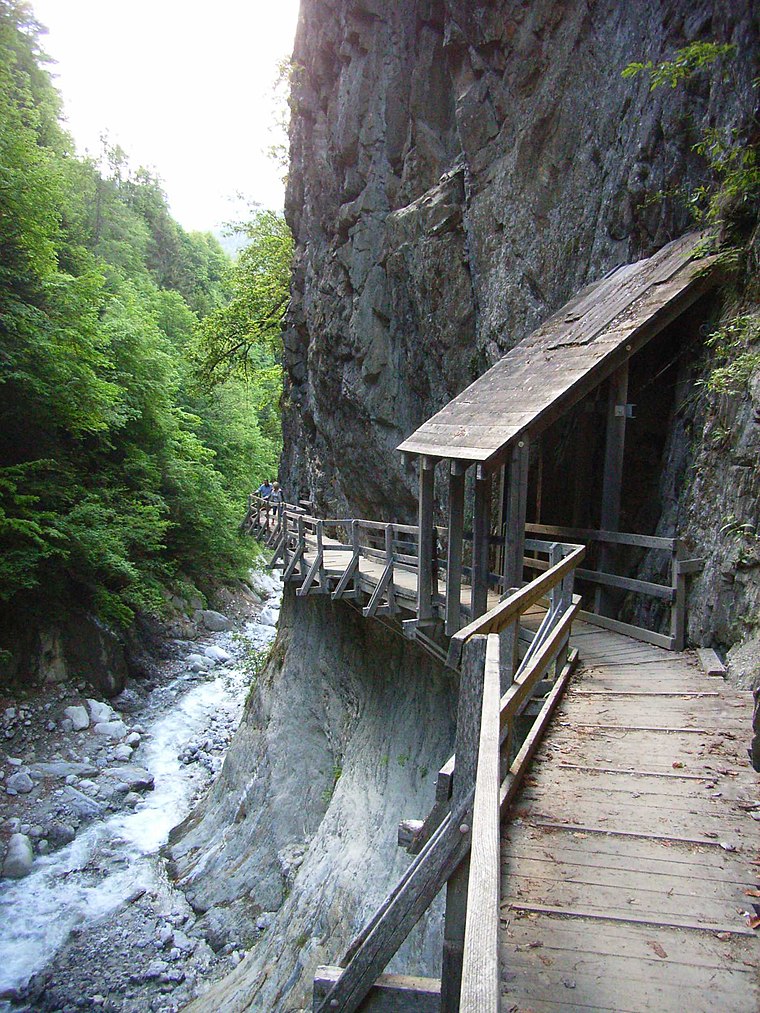
Photo: Lysippos, CC BY-SA 2.0 de.
Bovernier is a municipality in the district of Martigny in the canton of Valais in Switzerland. Bovernier is situated 4 km east of La Féronde du Loup.
La Féronde du Loup
- Type: Locality
- Location: Martigny-Combe, Martigny District, Valais, Switzerland, Central Europe, Europe
- View on OpenStreetMap
Latitude
46.07173° or 46° 4′ 18″ northLongitude
7.03538° or 7° 2′ 7″ eastOpen location code
8FR932CP+M5OpenStreetMap ID
node 11821409134OpenStreetMap feature
place=locality
This page is based on OpenStreetMap, Wikidata, and Wikimedia Commons.
We’d love your help improving our open data sources. Thank you for contributing.
Satellite Map
Discover La Féronde du Loup from above in high-definition satellite imagery.
Localities in the Area
Explore places such as Le Fays and Le Châtelard.
Notable Places Nearby
Highlights include Château de Saint-Jean and Porte à l’Ô/Col de Portalo.
Valais: Must-Visit Destinations
Delve into Sion, Zermatt, Martigny, and Brig.
Curious Localities to Discover
Uncover intriguing localities from every corner of the globe.
About Mapcarta. Data © OpenStreetMap contributors and available under the Open Database License". Text is available under the CC BY-SA 4.0 license, except for photos, directions, and the map. Photo: Debugman, CC BY 3.0.