Fondei-Schära
Fondei-Schära is a locality in Arosa, Plessur, Graubünden. Fondei-Schära is situated nearby to the locality In den Seematten, as well as near Nigglisch-Hus.| Tap on a place to explore it |
Places of Interest
Highlights include Mattjisch Horn and Stelli.
Mattjisch Horn
Peak

Photo: Andres Passwirth, CC BY-SA 3.0.
The Mattjisch Horn is a mountain of the Plessur Alps, overlooking the municipality of Arosa in the Swiss canton of Graubünden. It lies on the range between the valleys of Prättigau and Schanfigg.
Stelli
Peak

Photo: Kulmalukko, CC BY-SA 3.0.
The Stelli is a mountain of the Plessur Alps, overlooking Langwies in the canton of Graubünden. It lies west of the Weissfluh.
Langwies GR railway station
Railway station

Photo: Dpaajones, CC BY-SA 3.0.
Langwies GR railway station, often just Langweis railway station, is a railway station on the Chur–Arosa railway of the Rhaetian Railway. It is situated in Langwies, lower down the hillside from the centre of the village. Langwies GR railway station is situated 3 km southwest of Fondei-Schära.
Places in the Area
Nearby places include Strassberg and Langwies.
Langwies
Village
 Langwies is a former municipality in the district of Plessur in the canton of Graubünden in Switzerland. On 1 January 2013 the former municipalities of Langwies, Calfreisen, Castiel, Lüen, Molinis, Peist and St. Langwies is situated 2½ km southwest of Fondei-Schära.
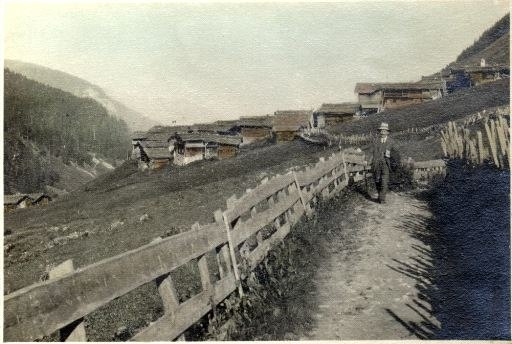
Medergen
Hamlet

Photo: Andres Passwirth, CC BY-SA 3.0.
Medergen is a hamlet, which is situated 4 km south of Fondei-Schära.
Fondei-Schära
- Type: Locality
- Location: Arosa, Plessur, Graubünden, Switzerland, Central Europe, Europe
- View on OpenStreetMap
Latitude
46.83875° or 46° 50′ 20″ northLongitude
9.73523° or 9° 44′ 7″ eastOpen location code
8FRFRPQP+F3OpenStreetMap ID
node 11841697002OpenStreetMap feature
place=locality
This page is based on OpenStreetMap, Wikidata, and Wikimedia Commons.
We’d love your help improving our open data sources. Thank you for contributing.
Satellite Map
Discover Fondei-Schära from above in high-definition satellite imagery.
Localities in the Area
Explore places such as In den Seematten and Nigglisch-Hus.
Notable Places Nearby
Highlights include Blackter Flüe and Wit Furgga.
Graubünden: Must-Visit Destinations
Delve into Davos, Chur, St. Moritz, and Klosters.
Curious Localities to Discover
Uncover intriguing localities from every corner of the globe.
About Mapcarta. Data © OpenStreetMap contributors and available under the Open Database License". Text is available under the CC BY-SA 4.0 license, except for photos, directions, and the map. Photo: Martingarten, CC BY-SA 3.0.