Les Prés Claclos
Les Prés Claclos is a locality in Muriaux, Franches-Montagnes District, Canton of Jura. Les Prés Claclos is situated nearby to the hamlet Le Roselet, as well as near the locality Le Crâtat Loviat.| Tap on a place to explore it |
Places of Interest
Highlights include Les Breuleux railway station and Les Breuleux-Eglise railway station.
Les Breuleux railway station
Railway station

Photo: Roland Zumbuehl, CC BY-SA 4.0.
Les Breuleux railway station is a railway station in the municipality of Les Breuleux, in the Swiss canton of Jura. It is an intermediate stop and a request stop on the 1,000 mm metre gauge Tavannes–Noirmont railway line of Chemins de fer du Jura.
Les Breuleux-Eglise railway station
Railway stop
 Les Breuleux-Eglise railway station is a railway station in the municipality of Les Breuleux, in the Swiss canton of Jura. It is an intermediate stop and a request stop on the 1,000 mm metre gauge Tavannes–Noirmont railway line of Chemins de fer du Jura.
La Chaux-des-Breuleux railway station
Railway stop

Photo: Gestumblindi, CC0.
La Chaux-des-Breuleux railway station is a railway station in the municipality of La Chaux-des-Breuleux, in the Swiss canton of Jura. It is an intermediate stop and a request stop on the 1,000 mm metre gauge Tavannes–Noirmont railway line of Chemins de fer du Jura.
Places in the Area
Nearby places include Les Breuleux and La Chaux-des-Breuleux.
Les Breuleux
Village

Photo: LuFiLa, CC BY-SA 4.0.
Les Breuleux is a municipality in the district of Franches-Montagnes in the canton of Jura in Switzerland. On 1 January 2023 the former municipality of La Chaux-des-Breuleux merged to form the municipality of Les Breuleux.
La Chaux-des-Breuleux
Village

Photo: LuFiLa, CC BY-SA 4.0.
La Chaux-des-Breuleux is a former municipality in the district of Franches-Montagnes in the canton of Jura in Switzerland. On 1 January 2023 the former municipality of La Chaux-des-Breuleux merged to form the municipality of Les Breuleux.
Les Cerlatez
Hamlet
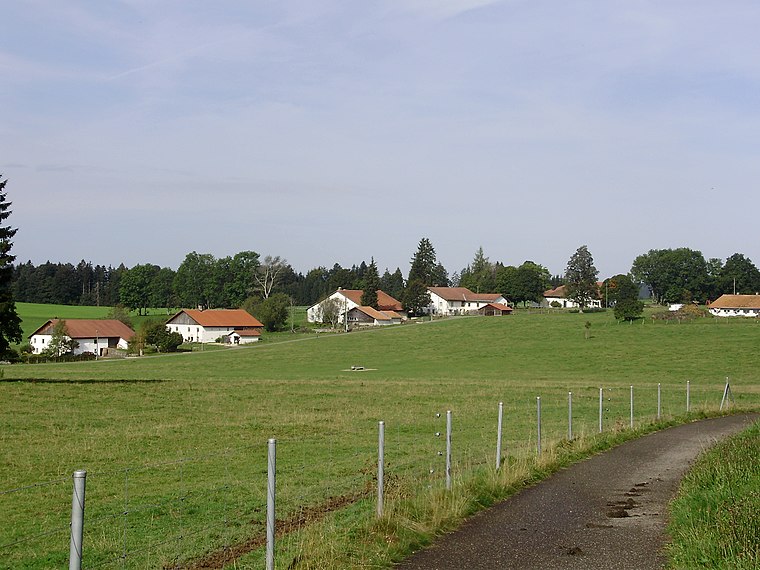
Photo: Wikimedia, CC BY-SA 3.0.
Les Cerlatez is a hamlet, which is situated 3½ km northeast of Les Prés Claclos.
Les Prés Claclos
- Type: Locality
- Location: Muriaux, Franches-Montagnes District, Canton of Jura, Switzerland, Central Europe, Europe
- View on OpenStreetMap
Latitude
47.21865° or 47° 13′ 7″ northLongitude
7.00273° or 7° 0′ 10″ eastOpen location code
8FV96293+F3OpenStreetMap ID
node 11921756863OpenStreetMap feature
place=locality
This page is based on OpenStreetMap, Wikidata, and Wikimedia Commons.
We’d love your help improving our open data sources. Thank you for contributing.
Satellite Map
Discover Les Prés Claclos from above in high-definition satellite imagery.
Localities in the Area
Explore places such as Le Roselet and Le Crâtat Loviat.
Notable Places Nearby
Highlights include Fondation pour le cheval and Lux.
Switzerland: Must-Visit Destinations
Delve into Zurich, Berne, Geneva, and Basel.
Curious Localities to Discover
Uncover intriguing localities from every corner of the globe.
About Mapcarta. Data © OpenStreetMap contributors and available under the Open Database License". Text is available under the CC BY-SA 4.0 license, except for photos, directions, and the map. Photo: Simonizer, CC BY-SA 2.0 de.