Sous les Closures
Sous les Closures is a locality in Saignelégier, Franches-Montagnes District, Canton of Jura. Sous les Closures is situated nearby to the locality Fin du Roselet, as well as near Derrière la Tranchée.| Tap on a place to explore it |
Places of Interest
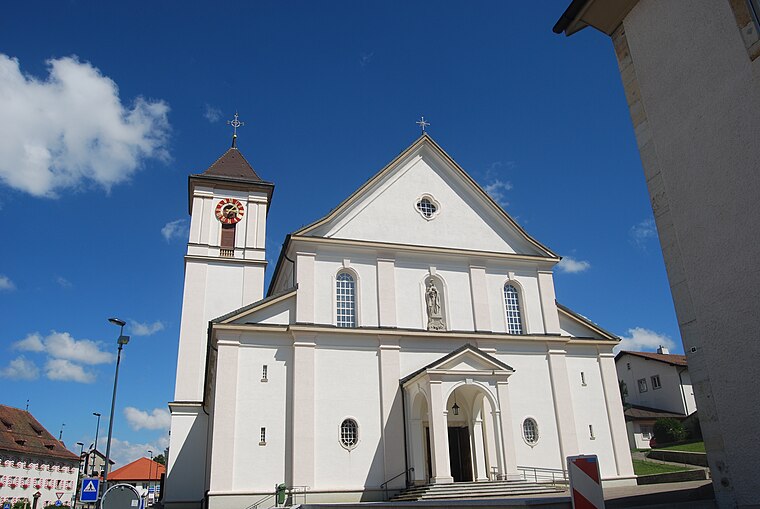
Highlights include Saignelégier railway station and Notre-Dame de l’Assomption church.
Saignelégier railway station
Railway station

Photo: Wikimedia, CC BY-SA 3.0.
Saignelégier railway station is a railway station in the municipality of Saignelégier, in the Swiss canton of Jura. It is located on the 1,000 mm La Chaux-de-Fonds–Glovelier line of the Chemins de fer du Jura.
Muriaux railway station
Railway stop
 Muriaux railway station is a railway station in the municipality of Muriaux, in the Swiss canton of Jura. It is an intermediate stop and a request stop on the 1,000 mm metre gauge La Chaux-de-Fonds–Glovelier line of the Chemins de fer du Jura.
Places in the Area
Nearby places include Muriaux and Les Cerlatez.
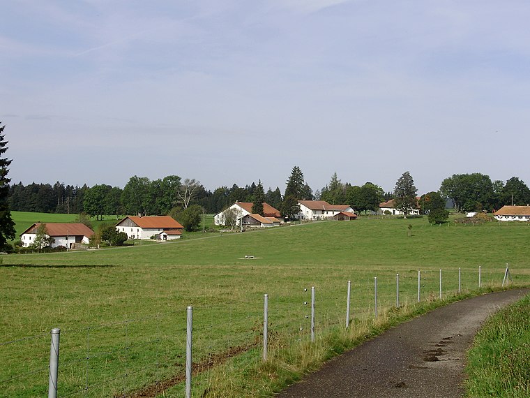
Muriaux
Village

Photo: Yesuitus2001, CC BY-SA 2.5.
Muriaux is a municipality in the district of Franches-Montagnes in the canton of Jura in Switzerland. On 1 January 2009, the formerly independent municipality of Le Peuchapatte merged into the municipality of Muriaux.
Le Bémont
Village

Photo: Vodimivado, CC BY-SA 3.0.
Le Bémont is a municipality in the district of Franches-Montagnes in the canton of Jura in Switzerland.
Sous les Closures
Latitude
47.24627° or 47° 14′ 47″ northLongitude
6.99781° or 6° 59′ 52″ eastOpen location code
8FV86XWX+G4OpenStreetMap ID
node 11921838126OpenStreetMap feature
place=locality
This page is based on OpenStreetMap, Wikidata, and Wikimedia Commons.
We’d love your help improving our open data sources. Thank you for contributing.
Satellite Map
Discover Sous les Closures from above in high-definition satellite imagery.
Localities in the Area
Explore places such as Fin du Roselet and Derrière la Tranchée.
Notable Places Nearby
Highlights include Stellplatz Saignelégie and Saignelégier, Centre Loisirs.
Switzerland: Must-Visit Destinations
Delve into Zurich, Berne, Geneva, and Basel.
Curious Localities to Discover
Uncover intriguing localities from every corner of the globe.
About Mapcarta. Data © OpenStreetMap contributors and available under the Open Database License". Text is available under the CC BY-SA 4.0 license, except for photos, directions, and the map. Photo: Simonizer, CC BY-SA 2.0 de.