Loulé (Barrocal Da Fonte)
Loulé (Barrocal Da Fonte) is a bus stop in São Clemente, Loulé, Faro District. Loulé (Barrocal Da Fonte) is situated nearby to the sports venue Clube Hípico de Loulé, as well as near the village Santa Bárbara de Nexe.| Tap on a place to explore it |
Places of Interest Nearby
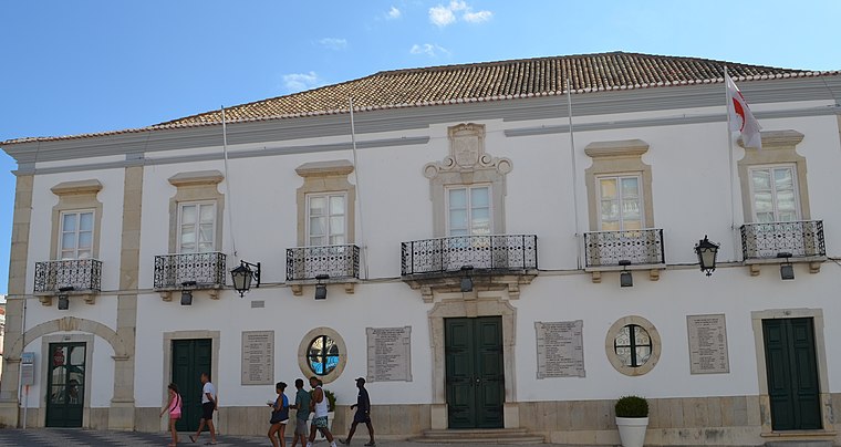
Highlights include Town hall and Mercado Municipal de Loulé.
Mercado Municipal de Loulé
Marketplace

Photo: CTHOE, CC BY-SA 3.0.
Mercado Municipal de Loulé is a marketplace, which is situated 2 km west of Loulé (Barrocal Da Fonte).
Igreja matriz de Loulé
Church

Photo: Wikimedia, CC BY-SA 2.0.
Igreja matriz de Loulé is a church, which is situated 2 km west of Loulé (Barrocal Da Fonte).
Places in the Area
Nearby places include Santa Bárbara de Nexe and Querença.
Santa Bárbara de Nexe
Village
Santa Bárbara de Nexe is a village and civil parish in the Portuguese municipality of Faro on the southern Algarve region. The population in 2011 was 4,116, in an area of 38.22 km². It is located a few kilometers from both the cities of Loulé and Faro. Santa Bárbara de Nexe is situated 5 km southeast of Loulé (Barrocal Da Fonte).
Querença
Village
Querença is a former civil parish in the municipality of Loulé, eastern Algarve, Portugal. In 2013, the parish merged into the new parish Querença, Tôr e Benafim. Querença is situated 7 km north of Loulé (Barrocal Da Fonte).
Loulé (Barrocal Da Fonte)
- Type: Bus stop
- Category: transportation
- Location: São Clemente, Loulé, Faro District, Algarve, Portugal, Iberia, Europe
- View on OpenStreetMap
Latitude
37.13781° or 37° 8′ 16″ northLongitude
-7.99949° or 7° 59′ 58″ westNetwork
Vamus AlgarveOpen location code
8C9J42Q2+46OpenStreetMap ID
node 11935732571OpenStreetMap feature
highway=bus_stopOpenStreetMap feature
public_transport=platform
This page is based on OpenStreetMap, Wikidata, and Wikimedia Commons.
We’d love your help improving our open data sources. Thank you for contributing.
Satellite Map
Discover Loulé (Barrocal Da Fonte) from above in high-definition satellite imagery.
Notable Places Nearby
Highlights include Clube Hípico de Loulé and Fonte da Goldra.
Nearby Places
Explore places such as Matdiver and Cantina Hípica ‘A Mangedoura’.
Algarve: Must-Visit Destinations
Delve into Faro, Portimão, Lagos, and Tavira.
Curious Bus Stops to Discover
Uncover intriguing bus stops from every corner of the globe.
About Mapcarta. Data © OpenStreetMap contributors and available under the Open Database License". Text is available under the CC BY-SA 4.0 license, except for photos, directions, and the map. Photo: Michael Gaylard, CC BY 2.0.