Mader Heide
Mader Heide is a historic site in Gudensberg, Schwalm-Eder-Kreis, Hesse. Mader Heide is situated nearby to the peak Schanzenkopf, as well as near the meadow Madener Haide.| Tap on a place to explore it |
Places of Interest Nearby
Highlights include Mader Stein and Lamsberg.
Mader Stein
Peak
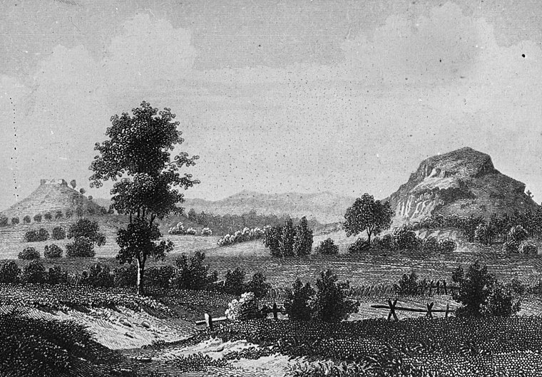
Photo: Wikimedia, CC BY-SA 2.5.
Mader Stein, or Maderstein, is a 265 m high hill in North Hesse, Schwalm-Eder-Kreis, north-east of the village of Maden, which belongs to the town of Gudensberg.

Evangelische Kirche Maden
Church

Photo: Jkü, CC BY-SA 3.0.
Evangelische Kirche Maden is a church, which is situated 1½ km west of Mader Heide.
Places in the Area
Nearby places include Brechelsdorf.
Brechelsdorf
Locality
Brechelsdorf was a village that was abandoned around the 14th to 15th century AD. There are no visible remains today. It was situated within the perimeter of the village of Altenbrunslar, which part of the town of Felsberg, in the district of Schwalm-Eder-Kreis in North Hesse, Germany. Brechelsdorf is situated 4½ km east of Mader Heide.
Mader Heide
- Type: Historic site
- Categories: tourist attraction and tourism
- Location: Gudensberg, Schwalm-Eder-Kreis, Kassel, Hesse, Germany, Central Europe, Europe
- View on OpenStreetMap
Latitude
51.16844° or 51° 10′ 6″ northLongitude
9.39767° or 9° 23′ 52″ eastOpen location code
9F3F599X+93OpenStreetMap ID
node 11936683779OpenStreetMap feature
historic=yes
This page is based on OpenStreetMap, Wikidata, and Wikimedia Commons.
We’d love your help improving our open data sources. Thank you for contributing.
Satellite Map
Discover Mader Heide from above in high-definition satellite imagery.
Notable Places Nearby
Highlights include Schanzenkopf and Madener Haide.
Nearby Places
Explore places such as Die Mader Heide- Ein historischer Gerichtsplatz and Mader Heide.
Hesse: Must-Visit Destinations
Delve into Frankfurt, Wiesbaden, Darmstadt, and Kassel.
Curious Historic Sites to Discover
Uncover intriguing historic sites from every corner of the globe.
About Mapcarta. Data © OpenStreetMap contributors and available under the Open Database License". Text is available under the CC BY-SA 4.0 license, except for photos, directions, and the map. Photo: Pedelecs, CC BY-SA 3.0.