Chemin de Veyrier
Chemin de Veyrier is in Étrembières, Arrondissement of Saint-Julien-en-Genevois, Auvergne-Rhône-Alpes. Chemin de Veyrier is situated nearby to the post office Relais Poste, as well as near Bureau de Poste de Pas De L Echelle.| Tap on a place to explore it |
Places of Interest Nearby
Highlights include Gare Basse du Téléphérique du Salève and Church of Saint-Maurice, Veyrier.
Gare Basse du Téléphérique du Salève

Photo: Wikimedia, CC BY-SA 4.0.
Gare Basse du Téléphérique du Salève is situated 230 metres southwest of Chemin de Veyrier.
Church of Saint-Maurice, Veyrier
Church

Photo: Franck.schneider, CC BY-SA 3.0.
Church of Saint-Maurice, Veyrier is situated 460 metres northwest of Chemin de Veyrier.
Jewish cemetery of Veyrier
Cemetery
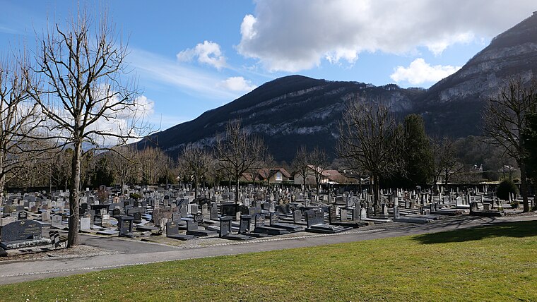
Photo: RomanDeckert, CC BY-SA 4.0.
Jewish cemetery of Veyrier is situated 600 metres north of Chemin de Veyrier.
Places in the Area
Nearby places include Veyrier and Sierne.
Veyrier
Village

Photo: HJPD, CC BY-SA 3.0.
Veyrier is a municipality of the Canton of Geneva, Switzerland, on the French border.


Chemin de Veyrier
- Type: Sign
- Categories: information and tourism
- Location: Étrembières, Arrondissement of Saint-Julien-en-Genevois, Haute-Savoie, Auvergne-Rhône-Alpes, France, Europe
- View on OpenStreetMap
Latitude
46.16441° or 46° 9′ 52″ northLongitude
6.19103° or 6° 11′ 28″ eastElevation
430 metres (1,411 feet)Open location code
8FR8557R+QCOpenStreetMap ID
node 11951568500OpenStreetMap feature
tourism=information
This page is based on OpenStreetMap, Wikidata, and Wikimedia Commons.
We’d love your help improving our open data sources. Thank you for contributing.
Satellite Map
Discover Chemin de Veyrier from above in high-definition satellite imagery.
Notable Places Nearby
Highlights include Relais Poste and Bureau de Poste de Pas De L Echelle.
Nearby Places
Explore places such as Da Guido Pizza and Vival.
Haute-Savoie: Must-Visit Destinations
Delve into Chamonix, Annecy, Annemasse, and Evian.
Curious Places to Discover
Uncover intriguing places from every corner of the globe.
About Mapcarta. Data © OpenStreetMap contributors and available under the Open Database License". Text is available under the CC BY-SA 4.0 license, except for photos, directions, and the map. Photo: Ypsilon from Finland, CC0.