Tramway Diner
Tramway Diner is a café in Manhattan, New York which is located on 1st Avenue. Tramway Diner is situated nearby to the government office NYC DOT Manhattan Sign Shop, Bridge Operations/ Bridge Painters, Bridge Repairer & Riveter, as well as near the art gallery Royale Galleries.| Tap on a place to explore it |
- Type: Café
- Cuisine: coffee shop
- Address: 1079 1st Avenue
- Wheelchair access: limited
Places of Interest Nearby
Highlights include Museum of Modern Art and United Nations Headquarters.
Museum of Modern Art
Museum
The Museum of Modern Art is an art museum located in Midtown Manhattan, New York City, on 53rd Street between Fifth and Sixth Avenues. MoMA's collection spans the late 19th century to the present, and includes over 200,000 works of architecture and design, drawing, painting, sculpture, photography, prints, illustrated and artist's books, film, as well as electronic media. Museum of Modern Art is situated 1 mile west of Tramway Diner.
United Nations Headquarters

Photo: Superbass, CC BY-SA 4.0.
The headquarters of the United Nations is on 17 to 18 acres of grounds in the Turtle Bay neighborhood of Midtown Manhattan in New York City. It borders First Avenue to the west, 42nd Street to the south, 48th Street to the north, and the East River to the east. United Nations Headquarters is situated 3,900 feet south of Tramway Diner.
Mount Vernon Hotel Museum & Garden
Museum

Photo: Dmadeo, CC BY-SA 3.0.
The Mount Vernon Hotel Museum & Garden, formerly the Abigail Adams Smith Museum, is a historic antebellum building at 421 East 61st Street, near the East River, on the Upper East Side of Manhattan in New York City. Mount Vernon Hotel Museum & Garden is situated 770 feet northeast of Tramway Diner.
Places in the Area
Nearby places include Lenox Hill and Tudor City.
Lenox Hill
Neighborhood
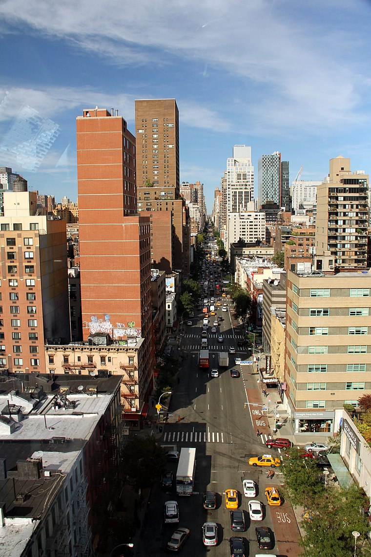
Photo: Wikimedia, CC BY-SA 2.0.
Lenox Hill is a neighborhood on the Upper East Side of Manhattan in New York City. It forms the lower section of the Upper East Side, east of Park Avenue in the 60s and 70s.
Tudor City
Neighborhood
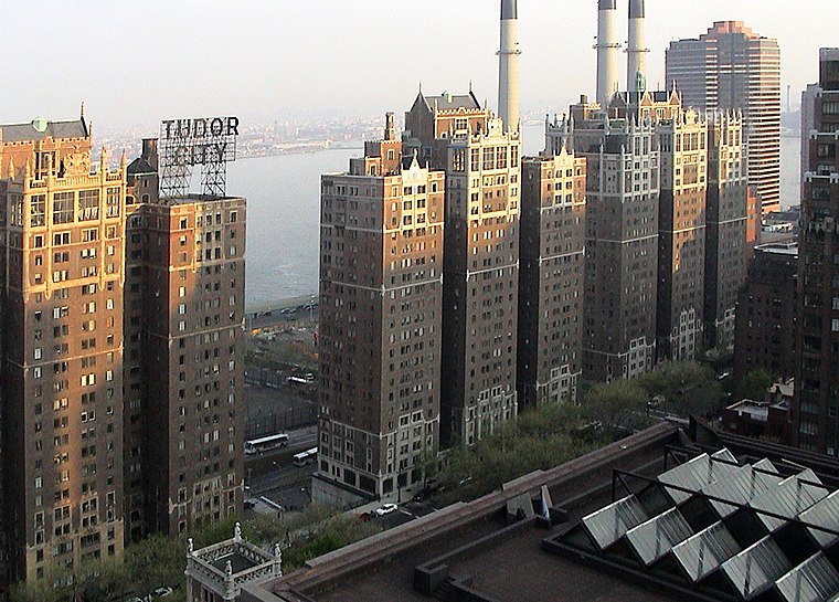
Photo: Niklem, CC BY-SA 2.0.
Tudor City is an apartment complex on the East Side of Manhattan in New York City, bordering the Turtle Bay and Murray Hill neighborhoods. It lies on a low cliff east of Second Avenue, between 40th and 43rd Streets, and overlooks First Avenue to the east.
Diamond District
Neighborhood
Photo: ChrisRuvolo, CC BY-SA 4.0.
A diamond district is an area where the cutting, polishing, and trade of diamonds and other gems takes place. There are a number of these districts around the world, including:…
Tramway Diner
Latitude
40.75958° or 40° 45′ 35″ northLongitude
-73.96221° or 73° 57′ 44″ westOpen location code
87G8Q25Q+R4OpenStreetMap ID
node 11994512711OpenStreetMap feature
amenity=cafeOpenStreetMap attribute
cuisine=coffee_shopOpenStreetMap attribute
wheelchair=limited
This page is based on OpenStreetMap, Wikidata, and Wikimedia Commons.
We’d love your help improving our open data sources. Thank you for contributing.
Satellite Map
Discover Tramway Diner from above in high-definition satellite imagery.
Notable Places Nearby
Highlights include NYC DOT Manhattan Sign Shop, Bridge Operations/ Bridge Painters, Bridge Repairer & Riveter and Royale Galleries.
Nearby Places
Explore places such as East City Convenience and Coco Pizzaria.
Manhattan: Must-Visit Destinations
Delve into Central Park, Upper East Side, Theater District, and Upper West Side.
Curious Cafés to Discover
Uncover intriguing cafés from every corner of the globe.
About Mapcarta. Data © OpenStreetMap contributors and available under the Open Database License". Text is available under the CC BY-SA 4.0 license, except for photos, directions, and the map. Photo: Wikimedia, CC BY-SA 3.0.