Solar D’Ouro
Solar D’Ouro is a pâtisserie in Peso da Régua e Godim, Peso da Régua, Vila Real District. Solar D’Ouro is situated nearby to the shopping center Galerias S. João, as well as near the post office Correios.| Tap on a place to explore it |
Places of Interest Nearby
Highlights include Museu do Douro and Régua railway station.
Museu do Douro
Museum
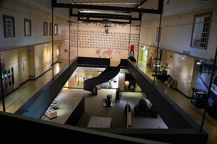
Photo: Michael Gaylard, CC BY 2.0.
Museu do Douro is a museum, which is situated 150 metres west of Solar D’Ouro.
Régua railway station
Railway station

Photo: Nuno Morão, CC BY-SA 2.0.
The Régua railway station previously known as Regoa railway station, is a station on the Douro Line, which serves the town of Peso da Régua, in the District of Vila Real, in Portugal. Régua railway station is situated 480 metres southeast of Solar D’Ouro.
Estação Ferroviária de Godim
Railway station

Photo: JP Ribeiro, CC BY-SA 4.0.
Estação Ferroviária de Godim is a railway station, which is situated 1 km northwest of Solar D’Ouro.
Places in the Area
Nearby places include Caldas de Moledo and Cambres.
Caldas de Moledo
Hamlet

Photo: Nuno Morão, CC BY-SA 2.0.
Caldas de Moledo is a hamlet, which is situated 3½ km west of Solar D’Ouro.
Cambres
Town
Cambres is a town in Portugal. It is a parish of Lamego Municipality. The population in 2011 was 2,066, in an area of 11.28 km2. Cambres is situated 4 km south of Solar D’Ouro.
Freguesia de Lobrigos (São Miguel)
Village

Photo: Vitor Oliveira, CC BY-SA 2.0.
Freguesia de Lobrigos (São Miguel) is a village, which is situated 5 km north of Solar D’Ouro.
Solar D’Ouro
- Type: Pâtisserie
- Categories: shop and food
- Location: Peso da Régua e Godim, Peso da Régua, Vila Real District, Portugal, Iberia, Europe
- View on OpenStreetMap
Latitude
41.16119° or 41° 9′ 40″ northLongitude
-7.78815° or 7° 47′ 17″ westOpen location code
8CHJ5666+FPOpenStreetMap ID
node 12020672506OpenStreetMap feature
shop=pastry
This page is based on OpenStreetMap, Wikidata, and Wikimedia Commons.
We’d love your help improving our open data sources. Thank you for contributing.
Satellite Map
Discover Solar D’Ouro from above in high-definition satellite imagery.
Places with the Same Name
Discover other places named “Solar D’Ouro”.
Notable Places Nearby
Highlights include Galerias S. João and Correios.
Nearby Places
Explore places such as Celsus and Parfois.
Portugal: Must-Visit Destinations
Delve into Lisbon, Caldas da Rainha, Porto, and Coimbra.
Curious Pâtisseries to Discover
Uncover intriguing pâtisseries from every corner of the globe.
About Mapcarta. Data © OpenStreetMap contributors and available under the Open Database License". Text is available under the CC BY-SA 4.0 license, except for photos, directions, and the map. Photo: Gary J. Wood, CC BY-SA 2.0.