Краљеве воде
Краљеве воде is a quarter in Opština Čajetina, Zlatibor District, Central Serbia. Краљеве воде is situated nearby to the town Zlatibor, as well as near the locality Tić polje.| Tap on a place to explore it |
Places in the Area
Nearby places include Zlatibor and Čajetina.
Zlatibor
Town
 Zlatibor is a town located at the namesake mountain in the municipality of Čajetina, western Serbia. As of 2011, the population of the town is 2,821 inhabitants.
Čajetina
Town
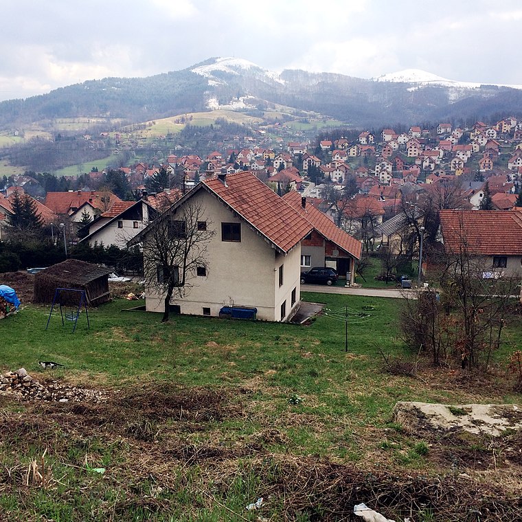
Photo: Bjoertvedt, CC BY-SA 4.0.
Čajetina is a small town and municipality located in the Zlatibor District of western Serbia. According to the 2022 census results, the municipality has 14,585 inhabitants. Čajetina is situated 3 km north of Краљеве воде.
Mušvete
Hamlet
Mušvete is a village in the municipality of Čajetina, western Serbia. As of the 2011 census, the village has a population of 242 people. Mušvete is situated 4 km northeast of Краљеве воде.
Краљеве воде
- Type: Quarter
- Category: locality
- Location: Opština Čajetina, Zlatibor District, Central Serbia, Serbia, Balkans, Europe
- View on OpenStreetMap
Latitude
43.72585° or 43° 43′ 33″ northLongitude
19.70364° or 19° 42′ 13″ eastOpen location code
8FMXPPG3+8FOpenStreetMap ID
node 12050048193OpenStreetMap feature
place=quarter
This page is based on OpenStreetMap, Wikidata, and Wikimedia Commons.
We’d love your help improving our open data sources. Thank you for contributing.
Satellite Map
Discover Краљеве воде from above in high-definition satellite imagery.
In Other Languages
“Краљеве воде” goes by many names.
- Serbian: “Kraljeve vode”
- Serbian: “Краљеве воде”
Places with the Same Name
Discover other places named “Краљеве воде”.
Localities in the Area
Explore places such as Tić polje and Палисад.
Notable Places Nearby
Highlights include STC Zlatibor - Wai-Tai and Тартан стаза Олимп.
Serbia: Must-Visit Destinations
Delve into Belgrade, Novi Sad, Niš, and Kragujevac.
Curious Quarters to Discover
Uncover intriguing quarters from every corner of the globe.
About Mapcarta. Data © OpenStreetMap contributors and available under the Open Database License". Text is available under the CC BY-SA 4.0 license, except for photos, directions, and the map. Photo: Wikimedia, CC0.