Stonewall
Stonewall is a neighborhood in Baltimore County, Central Maryland, Maryland. Stonewall is situated nearby to the neighborhood Saddlebrook Farm, as well as near Timberline Park.| Tap on a place to explore it |
Places of Interest
Highlights include Dulaney Valley Memorial Gardens and Fairgrounds station.
Dulaney Valley Memorial Gardens
Cemetery
Dulaney Valley Memorial Gardens and Mausoleum is a cemetery and mausoleum in Timonium, Maryland, a Baltimore County suburban community. It is located at 200 E.
Fairgrounds station
Railway station

Photo: Pi.1415926535, CC BY-SA 3.0.
Fairgrounds station is a Baltimore Light RailLink station located adjacent to the Maryland State Fairgrounds in Timonium, Maryland. The station has two side platforms serving two tracks. Fairgrounds station is situated 2½ miles southwest of Stonewall.
Places in the Area
Nearby places include Timonium and Cockeysville.
Timonium
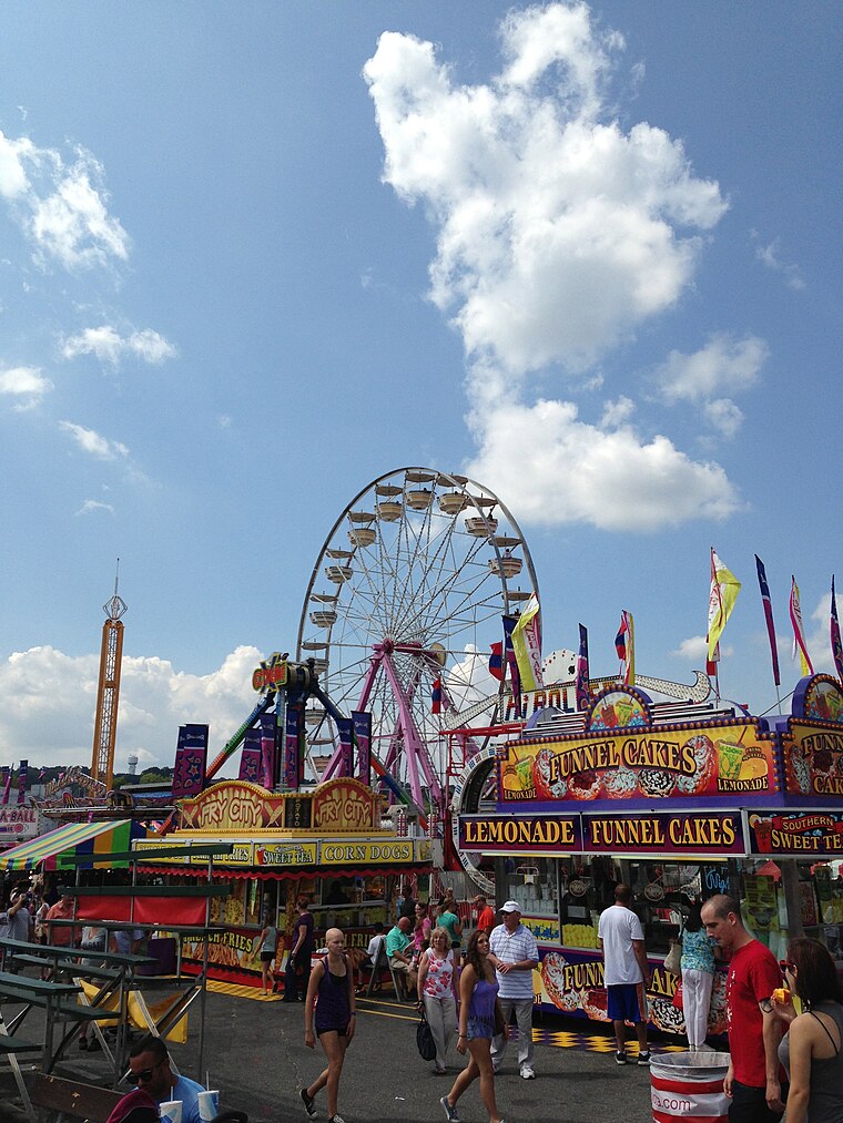
Photo: Scott218, CC BY-SA 3.0.
Timonium is a census-designated place in Baltimore County, Maryland, United States. As of the 2020 census, it has a population of 10,458. Prior to 2010 the area was part of the Lutherville-Timonium CDP.
Cockeysville
Photo: kenlund, CC BY-SA 2.0.
Cockeysville is a city in Central Maryland. This article will also cover Hunt Valley.
Mays Chapel
Village
Mays Chapel is an unincorporated community and census-designated place in Baltimore County, Maryland, United States. The population was 11,420 at the 2010 census. Mays Chapel is situated 3 miles southwest of Stonewall.
Stonewall
- Type: Neighborhood
- Category: locality
- Location: Baltimore County, Central Maryland, Maryland, Mid-Atlantic, United States, North America
- View on OpenStreetMap
Latitude
39.46663° or 39° 27′ 60″ northLongitude
-76.59889° or 76° 35′ 56″ westOpen location code
87F5FC82+MCOpenStreetMap ID
node 12060543677OpenStreetMap feature
place=neighbourhood
This page is based on OpenStreetMap, Wikidata, and Wikimedia Commons.
We’d love your help improving our open data sources. Thank you for contributing.
Satellite Map
Discover Stonewall from above in high-definition satellite imagery.
Places with the Same Name
Discover other places named “Stonewall”.
Localities in the Area
Explore places such as Saddlebrook Farm and Timberline Park.
Notable Places Nearby
Highlights include Talbott Family Cemetary and Harryman Farm Spring House.
Baltimore County: Must-Visit Destinations
Delve into Towson, Pikesville, Owings Mills, and Cockeysville.
Curious Neighborhoods to Discover
Uncover intriguing neighborhoods from every corner of the globe.
About Mapcarta. Data © OpenStreetMap contributors and available under the Open Database License". Text is available under the CC BY-SA 4.0 license, except for photos, directions, and the map. Photo: Wikimedia, CC0.