Börterhütte
Börterhütte is a locality in Vorarlberg, Austria. Börterhütte is situated nearby to the locality Paschianichöpf, as well as near Augstenberg.| Tap on a place to explore it |
Places of Interest
Highlights include Rotbüelspitz and Schlappiner Joch.
Rotbüelspitz
Peak

Photo: SlartibErtfass der bertige, CC BY-SA 3.0.
The Rotbüelspitz is a mountain of the Silvretta Alps, located on the border between Austria and Switzerland. It is located north of the slightly higher Isentällispitz. Rotbüelspitz is situated 2½ km east of Börterhütte.
Schlappiner Joch
Mountain saddle

Photo: Wikimedia, CC BY-SA 3.0.
Schlappiner Joch is a mountain saddle.

Places in the Area
Nearby places include Klosters and Gargellen.
Klosters

Photo: Patrick Nouhailler’s…, CC BY-SA 3.0.
Klosters is a Swiss village in the Prättigau, politically part of the municipality of Klosters-Serneus, which belongs to the political district Prättigau/Davos in the canton of Grisons.
Gargellen
Village

Photo: Wikimedia, Public domain.
Gargellen is a village, which is situated 7 km north of Börterhütte.
Serneus
Village
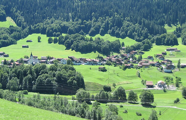
Photo: Parpan05, CC BY-SA 3.0.
Serneus is a village, which is situated 7 km west of Börterhütte.
Börterhütte
- Type: Locality
- Location: Vorarlberg, Austria, Central Europe, Europe
- View on OpenStreetMap
Latitude
46.9111° or 46° 54′ 40″ northLongitude
9.9258° or 9° 55′ 33″ eastOpen location code
8FRFWW6G+C8OpenStreetMap ID
node 12076484805OpenStreetMap feature
place=locality
This page is based on OpenStreetMap, Wikidata, and Wikimedia Commons.
We’d love your help improving our open data sources. Thank you for contributing.
Satellite Map
Discover Börterhütte from above in high-definition satellite imagery.
Localities in the Area
Explore places such as Paschianichöpf and Augstenberg.
Notable Places Nearby
Highlights include Teuf Furgga and Schlappinsee.
Vorarlberg: Must-Visit Destinations
Delve into Bregenz, Dornbirn, Feldkirch, and Bludenz.
Curious Localities to Discover
Uncover intriguing localities from every corner of the globe.
About Mapcarta. Data © OpenStreetMap contributors and available under the Open Database License". Text is available under the CC BY-SA 4.0 license, except for photos, directions, and the map. Photo: Böhringer, CC BY-SA 2.5.