Western Tube
Western Tube is a factory in Ogle, Illinois. Western Tube is situated nearby to the reservoir Lake Sule, as well as near New Lake Park.| Tap on a place to explore it |
Places of Interest Nearby
Highlights include Rochelle Municipal Airport.
Rochelle Municipal Airport
Aerodrome
Rochelle Municipal Airport, also known as Koritz Field, is a city-owned public-use airport located two nautical miles south of the central business district of Rochelle, a city in Ogle County, Illinois, United States. Rochelle Municipal Airport is situated 2½ miles west of Western Tube.
Places in the Area
Nearby places include Rochelle and Hillcrest.
Rochelle
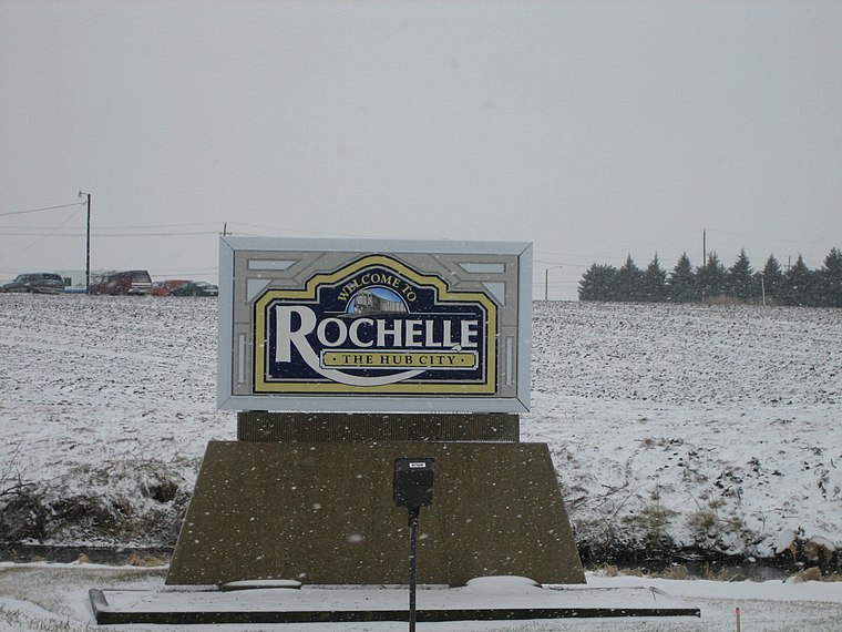
Photo: IvoShandor, CC BY 2.5.
Rochelle is a city in the Rock River Valley area of Northern Illinois. The population was 9,424 at the 2000 census. As of the 2005 estimate, the population had risen to 9,712.
Hillcrest
Village
 Hillcrest is a village located in Ogle County, Illinois, United States. The 2010 census lists its population at 1,326, up from 1,158 in 2000. Hillcrest is situated 3½ miles northwest of Western Tube.
Creston
Village
Creston is a village in Ogle County, Illinois, United States. The population was 627 at the 2020 census, down from 662 in 2010. Creston is situated 4 miles northeast of Western Tube.
Western Tube
- Type: Factory
- Address: Rochelle, IL
- Category: industry
- Location: Ogle, Illinois, Midwest, United States, North America
- View on OpenStreetMap
Latitude
41.90156° or 41° 54′ 6″ northLongitude
-89.03593° or 89° 2′ 9″ westOpen location code
86HGWX27+JJOpenStreetMap ID
node 12078968407OpenStreetMap feature
man_made=works
This page is based on OpenStreetMap, Wikidata, and Wikimedia Commons.
We’d love your help improving our open data sources. Thank you for contributing.
Satellite Map
Discover Western Tube from above in high-definition satellite imagery.
Notable Places Nearby
Highlights include Illinois River Energy LLC and Lake Sule.
Nearby Places
Explore places such as Del Monte Foods and Boise Cascade.
Illinois: Must-Visit Destinations
Delve into Chicago, Springfield, Rockford, and Loop.
Curious Factories to Discover
Uncover intriguing factories from every corner of the globe.
About Mapcarta. Data © OpenStreetMap contributors and available under the Open Database License". Text is available under the CC BY-SA 4.0 license, except for photos, directions, and the map. Photo: Rastapopulous, CC BY-SA 3.0.