Champ Verney
Champ Verney is a locality in Rue, Glâne District, Canton of Fribourg. Champ Verney is situated nearby to the hamlet Eschiens, as well as near the village Promasens.| Tap on a place to explore it |
Places of Interest
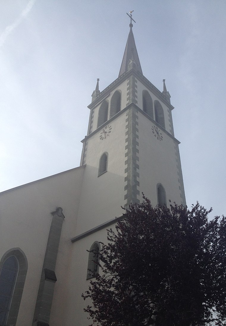
Highlights include Ecublens-Rue railway station and Saints-Pierre-et-Paul Parish Church.
Ecublens-Rue railway station
Railway station
 Ecublens-Rue railway station is a railway station in the municipality of Écublens, in the Swiss canton of Fribourg. It is an intermediate stop on the standard gauge Palézieux–Lyss line of Swiss Federal Railways.
Vauderens railway station
Railway station
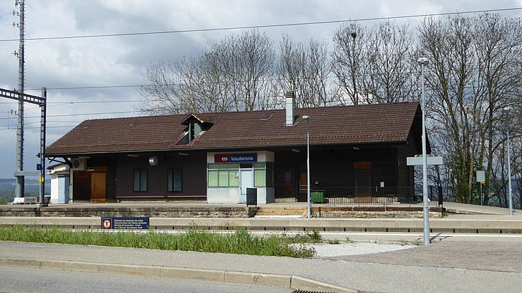 Vauderens railway station is a railway station in the municipality of Ursy, in the Swiss canton of Fribourg. It is an intermediate stop on the standard gauge Lausanne–Bern line of Swiss Federal Railways. Vauderens railway station is situated 3 km northeast of Champ Verney.
Places in the Area
Nearby places include Promasens and Écublens.
Écublens
Village
Écublens is a former municipality in the district of Glâne in the canton of Fribourg in Switzerland. On 1 January 2025, the former municipalities of Auboranges, Chapelle and Écublens merged into the municipality of Rue.
Rue
Village

Photo: Wikimedia, CC BY-SA 4.0.
Rue is a municipality in the district of Glâne in the canton of Fribourg in Switzerland. On 1 January 1993 the former municipality of Blessens merged into Rue, followed by Promasens and Gillarens in 2001.
Champ Verney
- Type: Locality
- Location: Rue, Glâne District, Canton of Fribourg, Switzerland, Central Europe, Europe
- View on OpenStreetMap
Latitude
46.60686° or 46° 36′ 25″ northLongitude
6.81732° or 6° 49′ 2″ eastOpen location code
8FR8JR48+PWOpenStreetMap ID
node 12114306122OpenStreetMap feature
place=locality
This page is based on OpenStreetMap, Wikidata, and Wikimedia Commons.
We’d love your help improving our open data sources. Thank you for contributing.
Satellite Map
Discover Champ Verney from above in high-definition satellite imagery.
Localities in the Area
Explore places such as Eschiens and L’Abergement.
Notable Places Nearby
Highlights include Salle Polyvalente de Promasens and Bois de Ban.
Switzerland: Must-Visit Destinations
Delve into Zurich, Berne, Geneva, and Basel.
Curious Localities to Discover
Uncover intriguing localities from every corner of the globe.
About Mapcarta. Data © OpenStreetMap contributors and available under the Open Database License". Text is available under the CC BY-SA 4.0 license, except for photos, directions, and the map. Photo: Michael D. Schmid, CC BY-SA 4.0.