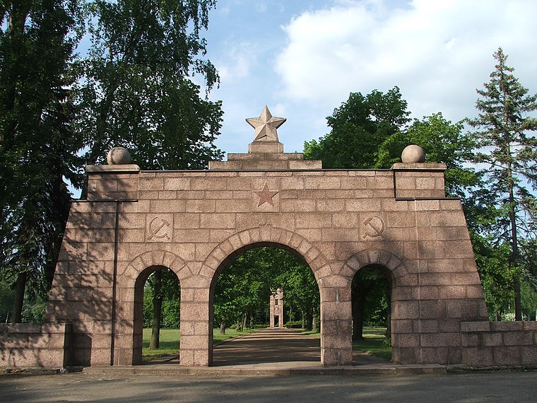
11 - Das Truppenlager
11 - Das Truppenlager is in Zeithain, Meissen, Saxony. 11 - Das Truppenlager is situated nearby to the church Sankt Michael, as well as near the town Zeithain.| Tap on a place to explore it |
Places of Interest Nearby
Highlights include Zeithain railway stop and Glaubitz (b Riesa) railway stop.
Zeithain railway stop
Railway stop

Photo: Ambross07, CC BY-SA 3.0.
Zeithain railway stop is situated 590 metres south of 11 - Das Truppenlager.
Glaubitz (b Riesa) railway stop
Railway stop

Photo: Bybbisch94, CC BY-SA 4.0.
Glaubitz (b Riesa) railway stop is situated 2½ km southeast of 11 - Das Truppenlager.
Grenzstein Radewitz
Geographical marker

Photo: Radler59, CC BY-SA 4.0.
Grenzstein Radewitz is a geographical marker, which is situated 3½ km east of 11 - Das Truppenlager.
Places in the Area
Nearby places include Zeithain and Röderau.

Moritz
Village

Photo: Jwaller, CC BY-SA 3.0.
Moritz is a village, which is situated 2½ km south of 11 - Das Truppenlager.
11 - Das Truppenlager
- Type: Sign
- Categories: information and tourism
- Location: Zeithain, Meissen, Saxony, Germany, Central Europe, Europe
- View on OpenStreetMap
Latitude
51.33523° or 51° 20′ 7″ northLongitude
13.34231° or 13° 20′ 32″ eastOpen location code
9F3M88PR+3WOpenStreetMap ID
node 12120999790OpenStreetMap feature
tourism=information
This page is based on OpenStreetMap, Wikidata, and Wikimedia Commons.
We’d love your help improving our open data sources. Thank you for contributing.
Satellite Map
Discover 11 - Das Truppenlager from above in high-definition satellite imagery.
Notable Places Nearby
Highlights include Sankt Michael and Freiwillige Feuerwehr Zeithain.
Nearby Places
Explore places such as Zeithain, Nikopoler Straße and Netto Marken-Discount.
Saxony: Must-Visit Destinations
Delve into Dresden, Leipzig, Chemnitz, and Meißen.
Curious Places to Discover
Uncover intriguing places from every corner of the globe.
About Mapcarta. Data © OpenStreetMap contributors and available under the Open Database License". Text is available under the CC BY-SA 4.0 license, except for photos, directions, and the map. Photo: Taxiarchos228, FAL.