Cascade des Parisiens
Cascade des Parisiens is a waterfall in Bagnères-de-Luchon, Arrondissement of Saint-Gaudens, Occitanie. Cascade des Parisiens is situated nearby to the spring Source de la Pique, as well as near the square Esplanade De La Légion d’Honneur.| Tap on a place to explore it |
Places of Interest Nearby
Highlights include Hospice de France and Tuc de Campsaure.
Hospice de France
Mountain hut

Photo: Bibliothèque de Toulouse, Public domain.
Hospice de France is a mountain hut, which is situated 430 metres northeast of Cascade des Parisiens.

Tuc de Poilanèr
Peak

Photo: Nataloche, CC BY-SA 4.0.
Tuc de Poilanèr is a peak, which is situated 2½ km east of Cascade des Parisiens.
Places in the Area
Nearby places include Arró and Es Bòrdes.
Arró
Hamlet

Photo: Wikimedia, CC BY-SA 4.0.
Arró is a village located in the municipality of Es Bòrdes, Catalonia. It was an independent municipality before 1847. Arró is situated 6 km northeast of Cascade des Parisiens.
Es Bòrdes
Village
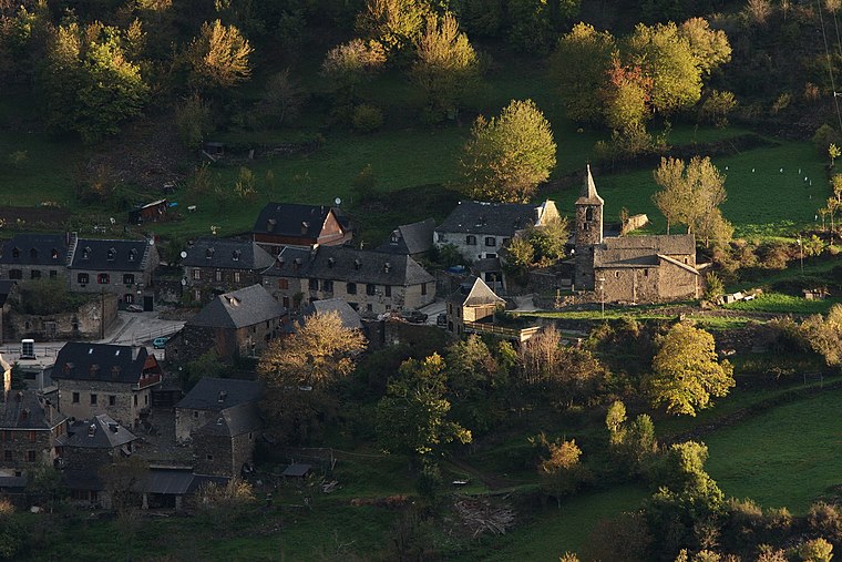
Photo: Amadalvarez, CC BY-SA 3.0.
Es Bòrdes is a municipality in western Aran, Catalonia. It has a population of 280. The mayor is Rosa Mirat Marqués. The municipality includes a small exclave to the west. It is located in the terçon of Irissa. Es Bòrdes is situated 6 km east of Cascade des Parisiens.
Arres de Jos
Village

Photo: Wikimedia, Public domain.
Arres de Jos is a village, which is situated 6 km northeast of Cascade des Parisiens.
Cascade des Parisiens
- Type: Waterfall
- Category: body of water
- Location: Bagnères-de-Luchon, Arrondissement of Saint-Gaudens, Haute-Garonne, Occitanie, France, Europe
- View on OpenStreetMap
Latitude
42.71913° or 42° 43′ 9″ northLongitude
0.65029° or 0° 39′ 1″ eastOpen location code
8FJ2PM92+M4OpenStreetMap ID
node 12134571683OpenStreetMap feature
waterway=waterfall
This page is based on OpenStreetMap, Wikidata, and Wikimedia Commons.
We’d love your help improving our open data sources. Thank you for contributing.
Satellite Map
Discover Cascade des Parisiens from above in high-definition satellite imagery.
Notable Places Nearby
Highlights include Source de la Pique and Esplanade De La Légion d’Honneur.
Nearby Places
Explore places such as Evadés de France 1941-1945 and Le Venasque.
Haute-Garonne: Must-Visit Destinations
Delve into Toulouse, Boutx, Tarn, and Roquesérière.
Curious Waterfalls to Discover
Uncover intriguing waterfalls from every corner of the globe.
About Mapcarta. Data © OpenStreetMap contributors and available under the Open Database License". Text is available under the CC BY-SA 4.0 license, except for photos, directions, and the map. Photo: Zyonig, Public domain.