Padre Flores
Padre Flores is a neighborhood in Algeciras, Cádiz, Andalusia. Padre Flores is situated nearby to the neighborhood San José, as well as near the locality Santa Águeda.| Tap on a place to explore it |
Places of Interest
Highlights include Algeciras Railway Station and Hospital Punta de Europa.
Algeciras Railway Station
Railway station

Photo: Falconaumanni, CC BY-SA 4.0.
Algeciras railway station is the southernmost rail station on the Spanish rail network and on the European mainland, and serves the town of Algeciras, Andalusia.

Municipal Museum of Algeciras
Museum

Photo: Falconaumanni, CC BY-SA 3.0.
Municipal Museum of Algeciras is a museum in Algeciras, Spain, located at the northern end of the Parque de las Acacias de Algeciras. It was established in 1995 and is run by the city's cultural department.
Places in the Area
Nearby places include El Pelayo and Palmones.
El Pelayo
Hamlet
El Pelayo or Pelayo is a village in the municipality of Algeciras in the Province of Cadiz in southeastern Spain, It is located 7 miles southwest from the city centre, along the main road to the southern tip of Spain at Tarifa, which is 14 kilometres away. El Pelayo is situated 5 km southwest of Padre Flores.
Palmones
Village
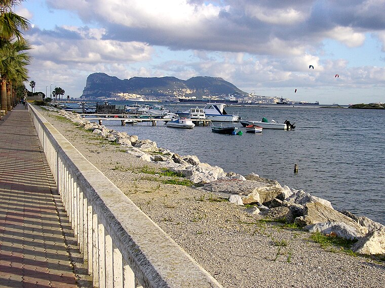
Photo: Falconaumanni, CC BY-SA 4.0.
Palmones is a village on the Bay of Gibraltar between Algeciras and La Linea de la Concepcion in the Province of Cádiz in Spain. The San Roque Refinery and Los Barrios commercial centre lie on either side of the town. Palmones is situated 7 km north of Padre Flores.
El Bujeo
Hamlet
El Bujeo is a village in the municipality of Tarifa in the Province of Cadiz in southeastern Spain, It is located about 9 miles southwest of Algeciras, along the main road to the southern tip of Spain at Tarifa, which is 11 kilometres away, and it lies between the villages of El Pelayo and El Cuartón. El Bujeo is situated 7 km southwest of Padre Flores.
Padre Flores
- Type: Neighborhood
- Category: locality
- Location: Algeciras, Cádiz, Andalusia, Spain, Iberia, Europe
- View on OpenStreetMap
Latitude
36.1127° or 36° 6′ 46″ northLongitude
-5.45844° or 5° 27′ 30″ westOpen location code
8C8P4G7R+3JOpenStreetMap ID
node 12143989400OpenStreetMap feature
place=neighbourhood
This page is based on OpenStreetMap, Wikidata, and Wikimedia Commons.
We’d love your help improving our open data sources. Thank you for contributing.
Satellite Map
Discover Padre Flores from above in high-definition satellite imagery.
Places with the Same Name
Discover other places named “Padre Flores”.
Localities in the Area
Explore places such as San José and Santa Águeda.
Notable Places Nearby
Highlights include Campo Municipal Juan Gandiaga-Los Pastores and Campo Municipal de La Yesera.
Cádiz: Must-Visit Destinations
Delve into Cádiz, Jerez de la Frontera, Tarifa, and El Puerto de Santa María.
Curious Neighborhoods to Discover
Uncover intriguing neighborhoods from every corner of the globe.
About Mapcarta. Data © OpenStreetMap contributors and available under the Open Database License". Text is available under the CC BY-SA 4.0 license, except for photos, directions, and the map. Photo: Falconaumanni, CC BY 3.0.