Louise Drevet
Louise Drevet is a tomb in Grenoble, Isère, Auvergne-Rhône-Alpes. Louise Drevet is situated nearby to Saint Roch Cemetery, as well as near the pitch Aire François Gallo.| Tap on a place to explore it |
Places of Interest Nearby
Highlights include Saint Roch Cemetery and Museum of Grenoble.
Saint Roch Cemetery
Cemetery

Photo: Milky, Public domain.
Saint Roch Cemetery is the first municipal cemetery in the city of Grenoble, France. It was blessed by the bishop of Grenoble Claude Simon on 19 August 1810.
Museum of Grenoble
Museum

Photo: Milky, CC BY-SA 3.0.
The Museum of Grenoble is a municipal museum of Fine Arts and antiquities in the city of Grenoble in the Isère region of France. Located on the left bank of the Isère River, place Lavalette, it is known both for its collections of ancient art and for its collections of modern and contemporary art. Museum of Grenoble is situated 520 metres west of Louise Drevet.
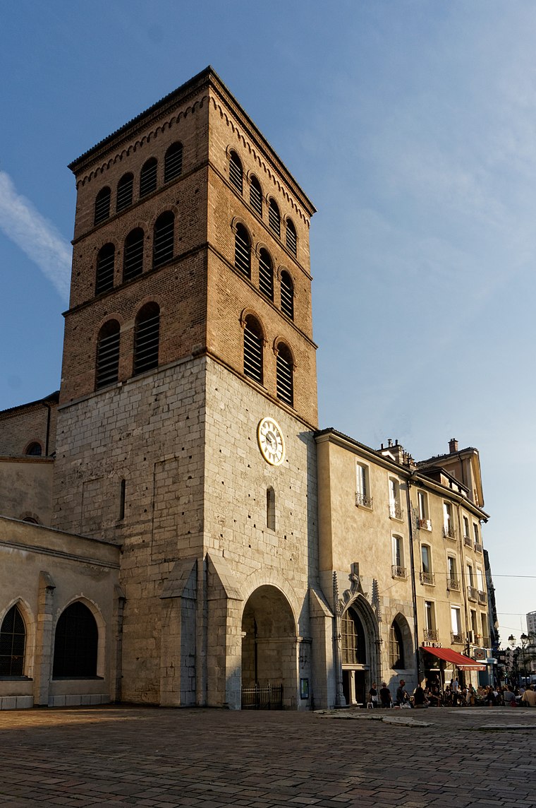
Chapelle Saint-Roch de Grenoble
Church

Photo: Milky, Public domain.
Chapelle Saint-Roch de Grenoble is a church, which is situated 200 metres northeast of Louise Drevet.
Places in the Area
Nearby places include Notre-Dame and Saint-Martin-d’Hères.
Saint-Martin-d’Hères
Town

Photo: Binnette, CC BY-SA 3.0.
Saint-Martin-d'Hères is a commune in the Isère department in southeastern France. Part of the Grenoble urban unit, it is the largest suburb of the city of Grenoble and is adjacent to it on the east.
University campus in Grenoble
Suburb

Photo: Rémih, CC BY-SA 3.0.
University campus in Grenoble is a suburb.
Louise Drevet
- Type: Tomb
- Categories: historic site and burial
- Location: Grenoble, Arrondissement of Grenoble, Isère, Auvergne-Rhône-Alpes, France, Europe
- View on OpenStreetMap
Latitude
45.19375° or 45° 11′ 38″ northLongitude
5.73899° or 5° 44′ 20″ eastOpen location code
8FQ75PVQ+FHOpenStreetMap ID
node 12144775777OpenStreetMap feature
historic=tomb
This page is based on OpenStreetMap, Wikidata, and Wikimedia Commons.
We’d love your help improving our open data sources. Thank you for contributing.
Satellite Map
Discover Louise Drevet from above in high-definition satellite imagery.
Notable Places Nearby
Highlights include Aire François Gallo and Parc de l’Ile verte.
Nearby Places
Explore places such as Camille Teisseire and Charles Bertier.
Isère: Must-Visit Destinations
Delve into Vienne, Voiron, Alpe d’Huez, and Les Deux Alpes.
Curious Tombs to Discover
Uncover intriguing tombs from every corner of the globe.
About Mapcarta. Data © OpenStreetMap contributors and available under the Open Database License". Text is available under the CC BY-SA 4.0 license, except for photos, directions, and the map. Photo: Inkey, CC BY 2.5.