Teixits Santa Rita
Teixits Santa Rita is a memorial in Nou Barris, Barcelona, Catalonia. Teixits Santa Rita is situated nearby to the church Nova parròquia de Santa Eulàlia de Vilapicina, as well as near the marketplace Mercat de La Mercè.| Tap on a place to explore it |
Places of Interest Nearby
Highlights include Can Basté and Virrei Amat.
Can Basté
Community center
 Can Basté is a community center, which is situated 120 metres west of Teixits Santa Rita.
Virrei Amat
Railway stop

Photo: Javierito92, CC BY 3.0.
Virrei Amat is a station on line 5 of the Barcelona Metro. The station is located underneath Plaça Virrei Amat, between Carrer Felip II and Carrer Varsòvia. Virrei Amat is situated 120 metres south of Teixits Santa Rita.
Nova parròquia de Santa Eulàlia de Vilapicina
Church

Photo: Pere prlpz, CC BY-SA 3.0.
Nova parròquia de Santa Eulàlia de Vilapicina is a church.
Places in the Area
Nearby places include Vilapicina i la Torre Llobeta and Porta.
Vilapicina i la Torre Llobeta
Neighborhood

Photo: Javierito92, CC BY 3.0.
Vilapicina i Torre Llobeta is a neighborhood in the Nou Barris district of Barcelona, Catalonia.
Porta
Neighborhood
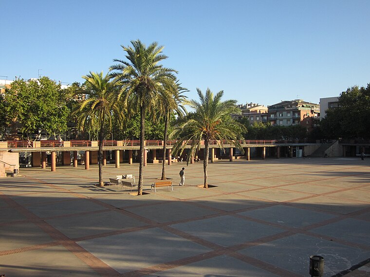
Photo: Electro07, CC BY-SA 3.0.
Porta is a neighborhood in the Nou Barris district of Barcelona, Catalonia.

Teixits Santa Rita
- Type: Memorial
- Category: historic site
- Location: Nou Barris, Barcelona, Barcelona, Catalonia, Eastern Spain, Spain, Iberia, Europe
- View on OpenStreetMap
Latitude
41.43067° or 41° 25′ 50″ northLongitude
2.17457° or 2° 10′ 29″ eastOpen location code
8FH4C5JF+7ROpenStreetMap ID
node 12149373403OpenStreetMap feature
historic=memorial
This page is based on OpenStreetMap, Wikidata, and Wikimedia Commons.
We’d love your help improving our open data sources. Thank you for contributing.
Satellite Map
Discover Teixits Santa Rita from above in high-definition satellite imagery.
Notable Places Nearby
Highlights include Mercat de La Mercè and Plaça d’Humberto Rivas.
Nearby Places
Explore places such as Farmàcia Picas and Doctor Pi i Molist - Plaça Virrei Amat.
Barcelona: Must-Visit Destinations
Delve into Ciutat Vella, Eixample, Gràcia, and Sants-Montjuïc.
Curious Memorials to Discover
Uncover intriguing memorials from every corner of the globe.
About Mapcarta. Data © OpenStreetMap contributors and available under the Open Database License". Text is available under the CC BY-SA 4.0 license, except for photos, directions, and the map. Photo: phyrephox, CC BY-SA 2.0.