Rua Soeiro Pereira Gomes
Rua Soeiro Pereira Gomes is a bus stop in Avenidas Novas, Lisbon. Rua Soeiro Pereira Gomes is situated nearby to the park Jardim do Edifício Egas Moniz, as well as near the marketplace Mercado do Bairro de Santos.| Tap on a place to explore it |
Places of Interest Nearby
Highlights include Embassy of the United States and National Library of Portugal.
Embassy of the United States
Government office

Photo: U.S. Department of State, Public domain.
The Embassy of the United States in Lisbon is the embassy of the United States in Portugal, in the capital city of Lisbon. It is located on Avenida das Forças Armadas. Embassy of the United States is situated 280 metres southwest of Rua Soeiro Pereira Gomes.
National Library of Portugal
Library

Photo: João Carvalho, CC BY-SA 3.0.
The Biblioteca Nacional de Portugal is the Portuguese national library. National Library of Portugal is situated 1 km northeast of Rua Soeiro Pereira Gomes.
Hospital de Santa Maria
Hospital

Photo: Ivendrell, CC BY-SA 3.0.
Hospital de Santa Maria MHM is a public Central Hospital serving the Greater Lisbon area as part of the Northern Lisbon University Hospital Centre, a State-owned enterprise. Santa Maria is the largest hospital in Portugal. Hospital de Santa Maria is situated 330 metres north of Rua Soeiro Pereira Gomes.
Places in the Area
Nearby places include Bairro Azul and North Lisbon.
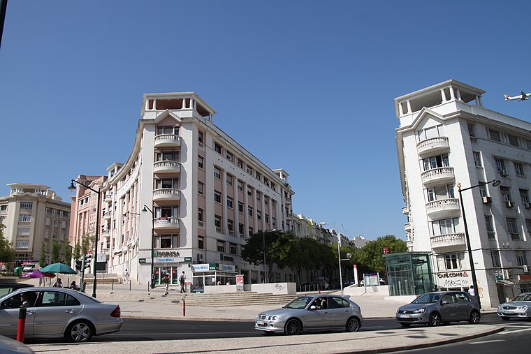
North Lisbon

Photo: Vitor Oliveira, CC BY-SA 2.0.
Northern Lisbon is a district covering a large portion of Portugal's capital city. Most of the sights, restaurants, and hotels are in and around the areas known as Avenidas Novas, Sete Rios, and Campolide.
São Domingos de Benfica
Village
Photo: Massimo Catarinella, CC BY 3.0.
São Domingos de Benfica is a freguesia and district of Lisbon, the capital of Portugal. Located in northern Lisbon, São Domingos de Benfica is east of Benfica, south of Carnide, west of Alvalade, and north of Campolide. The population in 2011 was 33,043,…
Rua Soeiro Pereira Gomes
- Type: Bus stop
- Also known as: “R. Soeiro Pereira Gomes”
- Category: transportation
- Location: Avenidas Novas, Lisbon, Lisbon District, Portugal, Iberia, Europe
- View on OpenStreetMap
Latitude
38.7451° or 38° 44′ 42″ northLongitude
-9.15952° or 9° 9′ 34″ westOpen location code
8CCGPRWR+25OpenStreetMap ID
node 12157022210OpenStreetMap feature
highway=bus_stopOpenStreetMap feature
public_transport=platform
This page is based on OpenStreetMap, Wikidata, and Wikimedia Commons.
We’d love your help improving our open data sources. Thank you for contributing.
Satellite Map
Discover Rua Soeiro Pereira Gomes from above in high-definition satellite imagery.
Notable Places Nearby
Highlights include Jardim do Edifício Egas Moniz and Mercado do Bairro de Santos.
Nearby Places
Explore places such as Rua Soeiro Pereira Gomes and Bicicletas Gira Estação 441.
Lisbon: Must-Visit Destinations
Delve into Bairro Alto, Alfama, Baixa, and Belém.
Curious Bus Stops to Discover
Uncover intriguing bus stops from every corner of the globe.
About Mapcarta. Data © OpenStreetMap contributors and available under the Open Database License". Text is available under the CC BY-SA 4.0 license, except for photos, directions, and the map. Photo: Alvesgaspar, CC BY-SA 3.0.