Matawan Community Food Pantry
Matawan Community Food Pantry is a social service facility in Borough of Matawan, Monmouth County, New Jersey. Matawan Community Food Pantry is situated nearby to Matawan Municipal Community Center, as well as near the police station Matawan Borough Police Headquarters.| Tap on a place to explore it |
Places of Interest Nearby
Highlights include Aberdeen–Matawan station and Bayshore Medical Center.
Aberdeen–Matawan station
Railway station

Photo: KOknockout920, CC BY-SA 3.0.
Aberdeen–Matawan is a station on NJ Transit's North Jersey Coast Line, located in Aberdeen and Matawan, Monmouth County, New Jersey, United States. This station, convenient to Route 35 and the PNC Bank Arts Center, is popular with both commuters and concertgoers, and is the busiest station on the line between Bay Head and Rahway. Aberdeen–Matawan station is situated 1 mile northeast of Matawan Community Food Pantry.
Bayshore Medical Center
Hospital
Bayshore Medical Center, formerly known as Bayshore Community Hospital, is a 204-bed general medical and surgical hospital located on a 37-acre campus at 727 North Beers Street, in Holmdel, New Jersey, United States, near the Raritan Bayshore. Bayshore Medical Center is situated 2 miles east of Matawan Community Food Pantry.
Hazlet station
Railway station
 Hazlet is a station on New Jersey Transit's North Jersey Coast Line in Hazlet, Monmouth County, New Jersey. The station is located between a stretch of tracks from Keyport–Holmdel Road to Hazlet Avenue. Hazlet station is situated 2 miles east of Matawan Community Food Pantry.
Places in the Area
Nearby places include Matawan and Town of Aberdeen.
Matawan
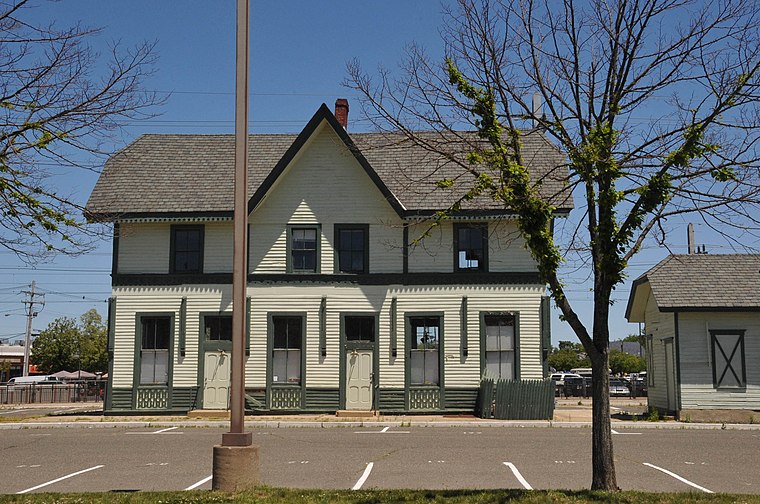
Photo: KLOTZ, CC BY-SA 4.0.
Matawan is a borough in Monmouth County, in the U.S. state of New Jersey. A historic community located near the Raritan Bay in the much larger Raritan Valley region, Raritan Bayshore the borough is a commuter town of New York City within the New York Metropolitan Area.
Town of Aberdeen
Town
 Aberdeen Township is a township situated on the Jersey Shore in Monmouth County, in the U.S. state of New Jersey. The township is located within the Raritan Valley region and is a part of the New York Metropolitan Area, bordering both Old Bridge Township, New Jersey, in adjacent Middlesex County, New Jersey, as well as Staten Island in New York City.
Freneau
Hamlet
 Freneau is an unincorporated community located within Matawan in Monmouth County, in the U.S. state of New Jersey. It is named for Philip Freneau, a poet during the American Revolutionary War.
Matawan Community Food Pantry
Latitude
40.40958° or 40° 24′ 35″ northLongitude
-74.23181° or 74° 13′ 55″ westOpen location code
87G7CQ59+R7OpenStreetMap ID
node 12163410170OpenStreetMap feature
amenity=social_facility
This page is based on OpenStreetMap, Wikidata, and Wikimedia Commons.
We’d love your help improving our open data sources. Thank you for contributing.
Satellite Map
Discover Matawan Community Food Pantry from above in high-definition satellite imagery.
Notable Places Nearby
Highlights include Matawan Municipal Community Center and Matawan Borough Police Headquarters.
Nearby Places
Explore places such as Historic Public School Bell and Borough of Matawan.
Monmouth County: Must-Visit Destinations
Delve into Long Branch, Asbury Park, Belmar, and Red Bank.
Curious Social Service Facilities to Discover
Uncover intriguing social service facilities from every corner of the globe.
About Mapcarta. Data © OpenStreetMap contributors and available under the Open Database License". Text is available under the CC BY-SA 4.0 license, except for photos, directions, and the map. Photo: Wikimedia, CC0.