Văcărești
Văcărești is a suburb in Sector 4, Municipiul Bucureşti, Bucharest. Văcărești is situated nearby to the neighborhood Amfiteatru Residence, as well as near Tineretului.| Tap on a place to explore it |
Places of Interest
Highlights include Polyvalent Hall and Tineretului Park.
Polyvalent Hall
Stadium
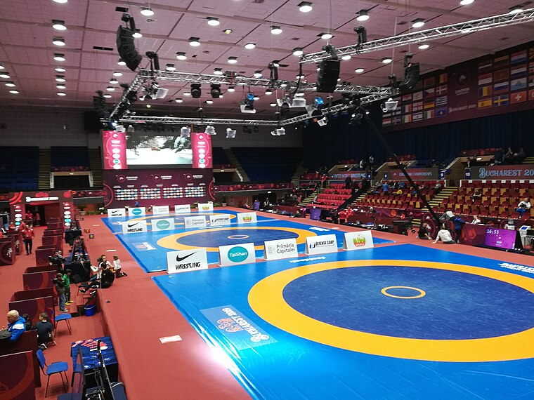
Photo: Wikimedia, CC BY-SA 3.0 de.
Polyvalent Hall of Bucharest is a multi-purpose indoor arena at the Tineretului Park in Bucharest, Romania. It is home to the CSM București of the National Handball League.
Tineretului Park
Park

Photo: Stratoreaper, CC BY-SA 3.0.
Tineretului Park is a large public park in southern Bucharest.
Tudor Arghezi House
Museum

Photo: Andrei Stroe, CC BY-SA 3.0 ro.
The Memorial House of Tudor Arghezi, also known as Casa Mărțișor, is a historic monument located in the Dealul Piscului area of Sector 4, Bucharest, Romania.
Places in the Area
Nearby places include Tineretului and Vitan.
Tineretului
Neighborhood
 Tineretului is a small neighborhood in south Bucharest, Romania in Sector 4, close to the city center, named after the nearby Tineretului Park. It is one of the preferred neighborhoods by people seeking to buy an apartment.
Vitan
Suburb

Photo: Dahn, Public domain.
Vitan is a neighborhood in southeastern Bucharest, Romania, along the Dâmbovița River. It is located in Sector 3, and lies between the Titan, Dristor, Centrul Civic, Olteniței, and Berceni districts.
Văcărești
- Type: Suburb
- Category: locality
- Location: Sector 4, Municipiul Bucureşti, Bucharest, Wallachian Plain, Muntenia, Romania, Balkans, Europe
- View on OpenStreetMap
Latitude
44.40444° or 44° 24′ 16″ northLongitude
26.11999° or 26° 7′ 12″ eastOpen location code
8GP8C439+QXOpenStreetMap ID
node 12165768132OpenStreetMap feature
place=suburb
This page is based on OpenStreetMap, Wikidata, and Wikimedia Commons.
We’d love your help improving our open data sources. Thank you for contributing.
Satellite Map
Discover Văcărești from above in high-definition satellite imagery.
Places with the Same Name
Discover other places named “Văcărești”.
Localities in the Area
Explore places such as Amfiteatru Residence and Văcărești.
Notable Places Nearby
Highlights include Grădina Valorilor Românești and Pista Automodele Off-Road.
Wallachian Plain: Must-Visit Destinations
Delve into Ploiești, Brăila, Pitești, and Târgoviște.
Curious Suburbs to Discover
Uncover intriguing suburbs from every corner of the globe.
About Mapcarta. Data © OpenStreetMap contributors and available under the Open Database License". Text is available under the CC BY-SA 4.0 license, except for photos, directions, and the map. Photo: Wikimedia, CC0.