Kiez und Kneipe
Kiez und Kneipe is an office in Berlin, Berlin. Kiez und Kneipe is situated nearby to the community center Die Epilog e. V., as well as near the art gallery TUTU’s Welt.| Tap on a place to explore it |
Places of Interest Nearby
Highlights include Jewish Museum Berlin and Amerika-Gedenkbibliothek.
Jewish Museum Berlin
Museum

Photo: Slimark, CC BY-SA 4.0.
The Jewish Museum Berlin was opened in 2001 and is the largest Jewish museum in Europe. On 3,500 square metres of floor space, the museum presents the history of the Jews in Germany from the Middle Ages to the present day, with new focuses and new scenography. Jewish Museum Berlin is situated 1 km north of Kiez und Kneipe.
Amerika-Gedenkbibliothek
Library

Photo: Jörg Zägel, CC BY-SA 3.0.
The Amerika-Gedenkbibliothek is one of the largest public libraries in Berlin, Germany. It was co-financed by a donation from the United States. The building was designed by American and German architects, including Fritz Bornemann and Willy Kreuer. Amerika-Gedenkbibliothek is situated 400 metres north of Kiez und Kneipe.
Gneisenaustraße
Metro station

Photo: Jcornelius, CC BY-SA 3.0.
Gneisenaustraße is a station on the U7 in Berlin, Germany. Gneisenaustraße is situated 230 metres southeast of Kiez und Kneipe.
Places in the Area
Nearby places include Viktoria-Quartier and Möckernkiez.
Viktoria-Quartier
Neighborhood

Photo: Wikimedia, CC BY-SA 3.0 de.
Viktoria-Quartier is a neighborhood.

Friedrichstadt
Quarter
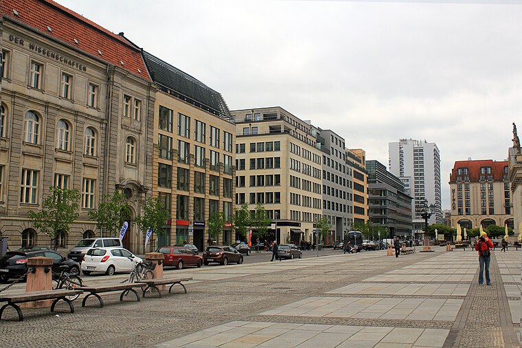
Photo: Tanweer Morshed, CC BY-SA 3.0.
Friedrichstadt was an independent suburb of Berlin, and is now a historical neighbourhood of the city itself. The neighbourhood is named after the Prussian king Frederick I.
Kiez und Kneipe
- Type: Newspaper publisher
- Category: office
- Location: Berlin, Berlin, Stadt, Berlin, Germany, Central Europe, Europe
- View on OpenStreetMap
Latitude
52.49317° or 52° 29′ 35″ northLongitude
13.39445° or 13° 23′ 40″ eastOpen location code
9F4MF9VV+7QOpenStreetMap ID
node 12175733042OpenStreetMap feature
office=newspaper
This page is based on OpenStreetMap, Wikidata, and Wikimedia Commons.
We’d love your help improving our open data sources. Thank you for contributing.
Satellite Map
Discover Kiez und Kneipe from above in high-definition satellite imagery.
Notable Places Nearby
Highlights include Die Epilog e. V. and TUTU’s Welt.
Nearby Places
Explore places such as Artemis and Das Zweite Büro.
Berlin: Must-Visit Destinations
Delve into Mitte, East Central, City West, and East Berlin.
Curious Places to Discover
Uncover intriguing places from every corner of the globe.
About Mapcarta. Data © OpenStreetMap contributors and available under the Open Database License". Text is available under the CC BY-SA 4.0 license, except for photos, directions, and the map. Photo: Berthold Werner, CC BY-SA 3.0.