Šuputov brijeg
Šuputov brijeg is a peak in Lika-Senj County, Croatia and has an elevation of 768 metres. Šuputov brijeg is situated nearby to the village Prijeboj, as well as near Jezerce.| Tap on a place to explore it |
Places in the Area
Nearby places include Jezerce and Plitvička Jezera.
Plitvička Jezera
Village
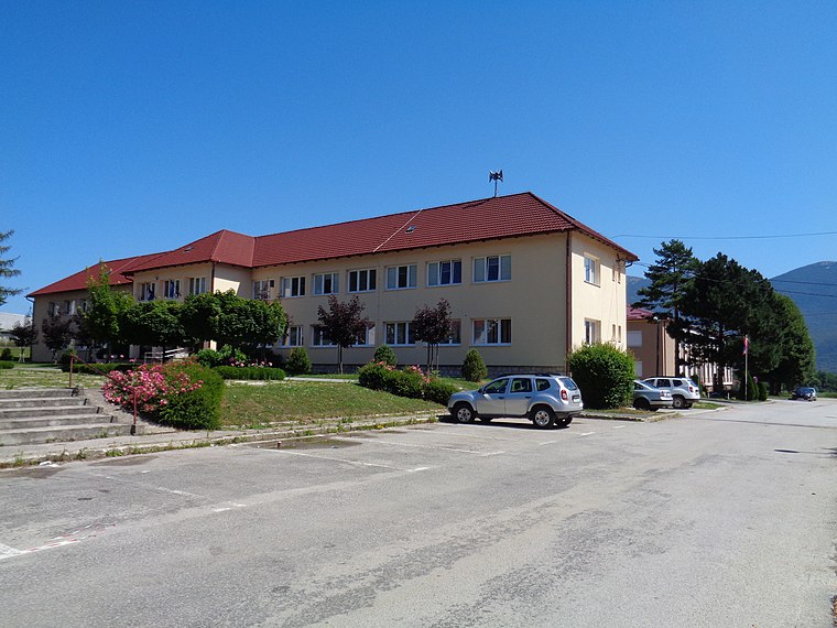
Photo: Silverije, CC BY-SA 4.0.
Plitvička Jezera is settlement and a municipality in central Croatia, in the eastern part of the Lika-Senj county. It lies in and near the eponymous Plitvice Lakes National Park, bisected by the D1 main road.
Šuputov brijeg
- Type: Peak with an elevation of 768 metres
- Category: landform
- Location: Lika-Senj County, Croatia, Balkans, Europe
- View on OpenStreetMap
Latitude
44.8438° or 44° 50′ 38″ northLongitude
15.6541° or 15° 39′ 15″ eastElevation
768 metres (2,520 feet)Open location code
8FPQRMV3+GJOpenStreetMap ID
node 12184413260OpenStreetMap feature
natural=peak
This page is based on OpenStreetMap, Wikidata, and Wikimedia Commons.
We’d love your help improving our open data sources. Thank you for contributing.
Satellite Map
Discover Šuputov brijeg from above in high-definition satellite imagery.
Localities in the Area
Explore places such as Kalemberuša and Juzbića Brdo.
Notable Places Nearby
Highlights include Šuputovo vrelo and Bilce.
Croatia: Must-Visit Destinations
Delve into Zagreb, Dubrovnik, Split, and Rijeka.
Curious Peaks to Discover
Uncover intriguing peaks from every corner of the globe.
About Mapcarta. Data © OpenStreetMap contributors and available under the Open Database License". Text is available under the CC BY-SA 4.0 license, except for photos, directions, and the map. Photo: Wikimedia, CC BY-SA 3.0.