Granheimer Kreuz
Granheimer Kreuz is a locality in Mengen, Sigmaringen, Baden-Württemberg. Granheimer Kreuz is situated nearby to the locality Hinterer Granerweg, as well as near Vorderer Granerweg.| Tap on a place to explore it |
Places of Interest
Highlights include Mengen station and Sandgrube Gertenstock.

Sandgrube Gertenstock
Quarry

Photo: ANKAWÜ, CC BY-SA 4.0.
Sandgrube Gertenstock is a quarry, which is situated 3½ km southeast of Granheimer Kreuz.
Places in the Area
Nearby places include Hohentengen and Blochingen.
Hohentengen
Village
Hohentengen is a municipality in the district of Sigmaringen in Baden-Württemberg in Germany. Hohentengen is situated 3½ km east of Granheimer Kreuz.
Blochingen
Village

Photo: Simisa, CC BY-SA 3.0.
Blochingen is a village, which is situated 3½ km north of Granheimer Kreuz.
Scheer
Village
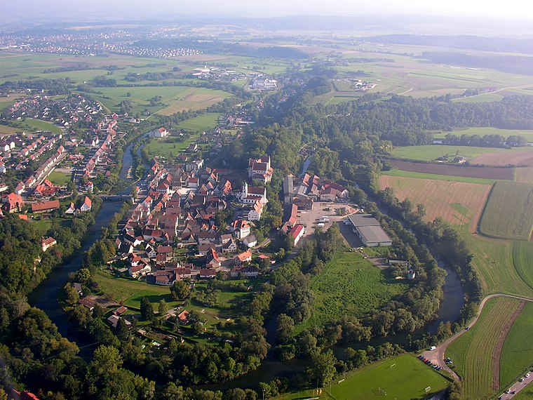
Photo: Simisa, CC BY-SA 3.0.
Scheer is a town in the district of Sigmaringen, in Baden-Württemberg, Germany. It is situated on the Danube, 6 km east of Sigmaringen. Scheer is situated 4½ km northwest of Granheimer Kreuz.
Granheimer Kreuz
- Type: Locality
- Location: Mengen, Sigmaringen, Tübingen Region, Baden-Württemberg, Germany, Central Europe, Europe
- View on OpenStreetMap
Latitude
48.03959° or 48° 2′ 23″ northLongitude
9.33442° or 9° 20′ 4″ eastOpen location code
8FWF28QM+RQOpenStreetMap ID
node 12232416095OpenStreetMap feature
place=locality
This page is based on OpenStreetMap, Wikidata, and Wikimedia Commons.
We’d love your help improving our open data sources. Thank you for contributing.
Satellite Map
Discover Granheimer Kreuz from above in high-definition satellite imagery.
Localities in the Area
Explore places such as Hinterer Granerweg and Vorderer Granerweg.
Notable Places Nearby
Highlights include Afterbol and 100m Bahn.
Baden-Württemberg: Must-Visit Destinations
Delve into Stuttgart, Heidelberg, Karlsruhe, and Mannheim.
Curious Localities to Discover
Uncover intriguing localities from every corner of the globe.
About Mapcarta. Data © OpenStreetMap contributors and available under the Open Database License". Text is available under the CC BY-SA 4.0 license, except for photos, directions, and the map. Photo: Traveler100, CC BY-SA 3.0.