PHX Sky Train® Bridge
PHX Sky Train® Bridge is in Maricopa County, Arizona. PHX Sky Train® Bridge is situated nearby to the tourism office Terminal 4 Information Desk, as well as near American Airlines Customer Assistance.| Tap on a place to explore it |
Places of Interest Nearby
Highlights include Phoenix Sky Harbor International Airport and Pueblo Grande Ruin and Irrigation Sites.
Phoenix Sky Harbor International Airport

Photo: Vmzp85, CC BY-SA 4.0.
Phoenix Sky Harbor International Airport is the main air gateway to Phoenix and Arizona. It's a reasonably pleasant airport to wait in, with interesting art, some solid dining options, and therapy dogs roaming the concourses.
Pueblo Grande Ruin and Irrigation Sites
Park

Photo: Offworlder, Public domain.
S'edav Va'aki is a pre-Columbian archaeological site and National Historic Landmark located in Phoenix, Arizona. It includes a prehistoric platform mound and irrigation canals. Pueblo Grande Ruin and Irrigation Sites is situated 1 mile northeast of PHX Sky Train® Bridge.
50th Street/Washington station
Railway station
50th Street/Washington station is a light rail station on the A Line of the Valley Metro Rail system in Phoenix, Arizona. It is between 44th Street/Washington and Center Pkwy/Washington stations. 50th Street/Washington station is situated 1½ miles northeast of PHX Sky Train® Bridge.
Places in the Area
Nearby places include Tempe and Central City.
Tempe

Photo: squeaks2569, CC BY-SA 2.0.
Tempe is a city of 180,587 in the Greater Phoenix area of Arizona, best known as the home of Arizona State University. Its younger, student-heavy population allows it to offer a vibrant nightlife that is relatively rare in Arizona.
Central City
Suburb
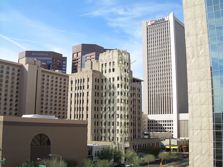
Photo: Jimmybeverage, Public domain.
Central City Village is the urban village of Phoenix, Arizona, that includes the downtown area of the city. As of 2010, it had a population of 58,161 residents. Central City is situated 3 miles west of PHX Sky Train® Bridge.
Camelback East
Suburb

Photo: 2candle, CC BY-SA 3.0.
Phoenix is the capital of the state of Arizona, the most populous city in the American Southwest. Warm and sunny winter weather have ensured a thriving tourism industry, and the city has become the region's primary political, cultural, economic, and transportation center. Camelback East is situated 4 miles north of PHX Sky Train® Bridge.
PHX Sky Train® Bridge
- Type: Information
- Category: tourism
- Location: Maricopa County, Arizona, Southwest, United States, North America
- View on OpenStreetMap
Latitude
33.43501° or 33° 26′ 6″ northLongitude
-111.99426° or 111° 59′ 39″ westOpen location code
855CC2P4+27OpenStreetMap ID
node 12243643498OpenStreetMap feature
tourism=information
This page is based on OpenStreetMap, Wikidata, and Wikimedia Commons.
We’d love your help improving our open data sources. Thank you for contributing.
Satellite Map
Discover PHX Sky Train® Bridge from above in high-definition satellite imagery.
Notable Places Nearby
Highlights include Terminal 4 Information Desk and American Airlines Customer Assistance.
Nearby Places
Explore places such as Zinc Brasserie and La Petit Zinc.
Arizona: Must-Visit Destinations
Delve into Phoenix, Tucson, Mesa, and Flagstaff.
Curious Places to Discover
Uncover intriguing places from every corner of the globe.
About Mapcarta. Data © OpenStreetMap contributors and available under the Open Database License". Text is available under the CC BY-SA 4.0 license, except for photos, directions, and the map. Photo: Tobi 87, CC BY-SA 3.0.