Steinenstich G’hau
Steinenstich G’hau is a locality in Heubach, Ostalbkreis, Baden-Württemberg. Steinenstich G’hau is situated nearby to the locality Mittelberg, as well as near Hochbergebene.| Tap on a place to explore it |
Places of Interest
Highlights include Heubach Telecommunication Tower and Burg Rosenstein.
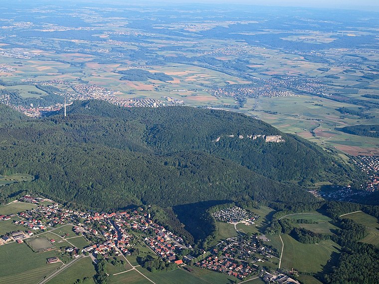
Heubach Telecommunication Tower

Photo: Timberwind, Public domain.
Heubach Telecommunication Tower is a 162-metre-tall telecommunication tower of Deutsche Telekom AG on Glasenberg at Heubach in Baden-Württemberg. It is used for directional radio, mobile radio, police and fire brigade radio also used for FM- and TV transmission.


Places in the Area
Nearby places include Heubach and Lauterburg.
Heubach
Town

Photo: Kreuzschnabel, CC BY-SA 3.0.
Heubach is a town in the Ostalbkreis district, in Baden-Württemberg, Germany. It is located 10 km east of Schwäbisch Gmünd, and 13 km southwest of Aalen.
Lautern
Village

Photo: Vexillum, CC BY-SA 3.0.
Lautern is a village, which is situated 3 km northeast of Steinenstich G’hau.
Steinenstich G’hau
- Type: Locality
- Location: Heubach, Ostalbkreis, Stuttgart, Baden-Württemberg, Germany, Central Europe, Europe
- View on OpenStreetMap
Latitude
48.77849° or 48° 46′ 43″ northLongitude
9.95299° or 9° 57′ 11″ eastOpen location code
8FWFQXH3+95OpenStreetMap ID
node 1228284030OpenStreetMap feature
place=locality
This page is based on OpenStreetMap, Wikidata, and Wikimedia Commons.
We’d love your help improving our open data sources. Thank you for contributing.
Satellite Map
Discover Steinenstich G’hau from above in high-definition satellite imagery.
Localities in the Area
Explore places such as Mittelberg and Hochbergebene.
Notable Places Nearby
Highlights include Heidenburren and Bike the Rock.
Baden-Württemberg: Must-Visit Destinations
Delve into Stuttgart, Heidelberg, Karlsruhe, and Mannheim.
Curious Localities to Discover
Uncover intriguing localities from every corner of the globe.
About Mapcarta. Data © OpenStreetMap contributors and available under the Open Database License". Text is available under the CC BY-SA 4.0 license, except for photos, directions, and the map. Photo: Traveler100, CC BY-SA 3.0.