Clínicas Helder Flor
Clínicas Helder Flor is a clinic in Avenidas Novas, Lisbon which is located on Avenida António Augusto de Aguiar. Clínicas Helder Flor is situated nearby to the church Igreja de Santa Rita, as well as near the university ITS.| Tap on a place to explore it |
Places of Interest Nearby
Highlights include Parque Station and Embassy of Estonia.
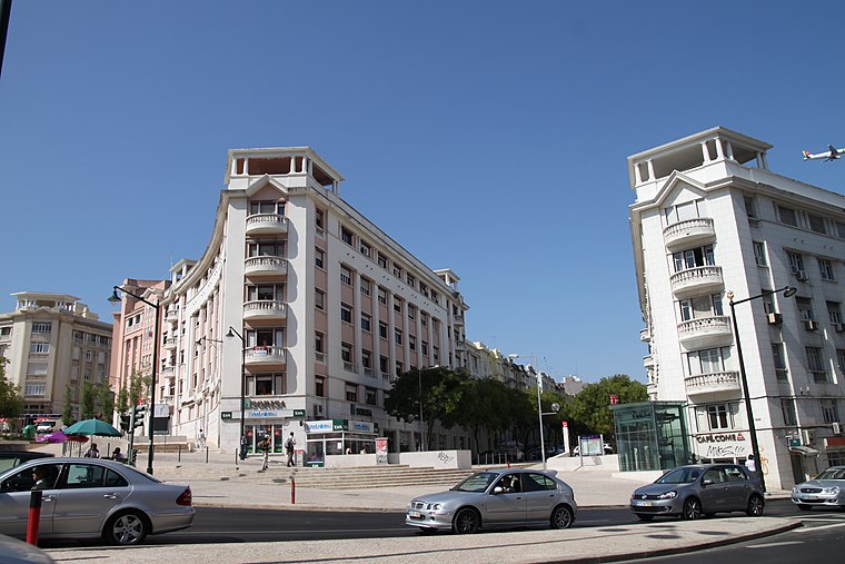
Parque Station
Metro station

Photo: Jcornelius, CC BY-SA 2.0 de.
Parque station is part of the Blue Line of the Lisbon Metro.
Embassy of Estonia
Government office

Photo: Niegodzisie, CC BY 4.0.
Embassy of Estonia is a government office, which is situated 200 metres north of Clínicas Helder Flor.
Embassy of Mozambique
Government office
Photo: Niegodzisie, CC BY 4.0.
Embassy of Mozambique is a government office, which is situated 190 metres north of Clínicas Helder Flor.
Places in the Area
Nearby places include Santo António and Bairro Azul.
Santo António
Suburb

Photo: Alvesgaspar, CC BY-SA 3.0.
Santo António is a freguesia of Lisbon, the capital of Portugal. Located in central Lisbon, Santo António is east of Campo de Ourique, north of Santa Maria Maior and Misericórdia, west of Arroios, and south of Avenidas Novas.
Arroios
Village

Photo: Pedro Simões, CC BY 2.0.
Arroios is a freguesia and district of Lisbon, the capital of Portugal. Located in central Lisbon, Arroios is north of Santa Maria Maior and São Vicente, east of Santo António, south of Avenidas Novas and Areeiro, and west of Penha de França.
Clínicas Helder Flor
- Type: Clinic
- Address: Avenida António Augusto de Aguiar 32C
- Category: health care
- Location: Avenidas Novas, Lisbon, Lisbon District, Portugal, Iberia, Europe
- View on OpenStreetMap
Latitude
38.72953° or 38° 43′ 46″ northLongitude
-9.14961° or 9° 8′ 59″ westOpen location code
8CCGPVH2+R5OpenStreetMap ID
node 12306905315OpenStreetMap feature
amenity=clinicOpenStreetMap feature
healthcare=clinic
This page is based on OpenStreetMap, Wikidata, and Wikimedia Commons.
We’d love your help improving our open data sources. Thank you for contributing.
Satellite Map
Discover Clínicas Helder Flor from above in high-definition satellite imagery.
Notable Places Nearby
Highlights include Igreja de Santa Rita and ITS.
Nearby Places
Explore places such as W Hair Experience and Optocentro.
Lisbon: Must-Visit Destinations
Delve into Bairro Alto, Alfama, Baixa, and Belém.
Curious Clinics to Discover
Uncover intriguing clinics from every corner of the globe.
About Mapcarta. Data © OpenStreetMap contributors and available under the Open Database License". Text is available under the CC BY-SA 4.0 license, except for photos, directions, and the map. Photo: Alvesgaspar, CC BY-SA 3.0.