Leonidas, Lisbon
Leonidas, Lisbon is a confectionery in Avenidas Novas, Lisbon. Leonidas, Lisbon is situated nearby to the health club Fitness UP São Sebastião, as well as near the neighborhood Bairro Azul.| Tap on a place to explore it |
Places of Interest Nearby
Highlights include Centro de Arte Moderna Gulbenkian and Gulbenkian Park.
Centro de Arte Moderna Gulbenkian
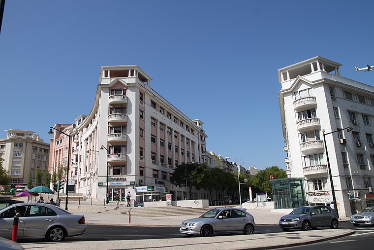
Museum

Photo: João Carvalho, CC BY-SA 3.0.
The Centro de Arte Moderna Gulbenkian is a major venue for contemporary art in Portugal and holds one of the largest collections of modern and contemporary Portuguese artworks. Centro de Arte Moderna Gulbenkian is situated 150 metres east of Leonidas, Lisbon.
Gulbenkian Park
Park

Photo: Alvesgaspar, CC BY-SA 3.0.
The Gulbenkian Park also known as Gulbenkian Garden is located in Lisbon, Portugal. It was created in 1969 and is part of the cultural center where the headquarters of the Calouste Gulbenkian Foundation, Gulbenkian Museum and the José de Azeredo Perdigão Modern Art Centre are situated enriching the cultural importance of the garden. Gulbenkian Park is situated 160 metres northeast of Leonidas, Lisbon.
Teatro Aberto
Theater building

Photo: Hipersyl, CC BY-SA 4.0.
Teatro Aberto is a theatre located in Lisbon, Portugal next to the Praça Espanha. Together with the Portuguese Society of Authors, it organizes the annual Grande Prémio de Teatro Português. Teatro Aberto is situated 280 metres west of Leonidas, Lisbon.
Places in the Area
Nearby places include Bairro Azul and Campolide.
Campolide
Suburb

Photo: Juntas, Public domain.
Campolide is a freguesia and district of Lisbon, the capital of Portugal. Located in central Lisbon, Campolide is west of Avenidas Novas, north of Campo de Ourique, east of Benfica, and south of São Domingos de Benfica. The population in 2011 was 15,460,…
Bairro da Calçada dos Mestres
Neighborhood

Photo: Wikimedia, CC BY-SA 2.0.
Bairro da Calçada dos Mestres is a neighborhood.
Leonidas, Lisbon
- Type: Confectionery
- Category: workshop
- Location: Avenidas Novas, Lisbon, Lisbon District, Portugal, Iberia, Europe
- View on OpenStreetMap
Latitude
38.73576° or 38° 44′ 9″ northLongitude
-9.15536° or 9° 9′ 19″ westOpen location code
8CCGPRPV+8VOpenStreetMap ID
node 12354212118OpenStreetMap feature
craft=confectionery
This page is based on OpenStreetMap, Wikidata, and Wikimedia Commons.
We’d love your help improving our open data sources. Thank you for contributing.
Satellite Map
Discover Leonidas, Lisbon from above in high-definition satellite imagery.
Notable Places Nearby
Highlights include Fitness UP São Sebastião and Câmara Municipal de Lisboa - Medicina no trabalho.
Nearby Places
Explore places such as Externato ‘A Ritinha’ and CSC Lawyers - Advogados Citizenship, Immigration, Real Estate law.
Lisbon: Must-Visit Destinations
Delve into Bairro Alto, Alfama, Baixa, and Belém.
Curious Confectioneries to Discover
Uncover intriguing confectioneries from every corner of the globe.
About Mapcarta. Data © OpenStreetMap contributors and available under the Open Database License". Text is available under the CC BY-SA 4.0 license, except for photos, directions, and the map. Photo: Alvesgaspar, CC BY-SA 3.0.