Degollada de Cherelepín
Degollada de Cherelepín is a locality in Vallehermoso, Santa Cruz de Tenerife. Degollada de Cherelepín is situated nearby to the locality La Laguna Grande, as well as near Alto de Cherelepín.| Tap on a place to explore it |
Places of Interest
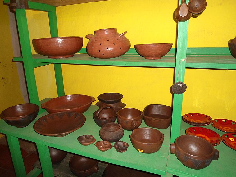
Highlights include La Gomera and Loceras de El Cercado.
La Gomera
 La Gomera is the second smallest island of the Canary Islands. It is an undeveloped, unspoilt, beautiful island 40 minutes by fast ferry from Tenerife that is ideal for walkers.

Places in the Area
Nearby places include Valle Gran Rey and Benchijigua.
Valle Gran Rey
 Valle Gran Rey is a town in La Gomera, Canary Islands. Valle Gran Rey is divided roughly into four areas with different characters and it's worth thinking which suits you best:…
Benchijigua
Locality
Benchijigua is a small village on the island of La Gomera in the Canary Islands. It lies at the head of a ravine at an altitude of 600m below the Roque de Agando, some 12 km north of Playa Santiago. Benchijigua is situated 6 km southeast of Degollada de Cherelepín.
Hermigua
Village

Photo: Guillaume Baviere, CC BY-SA 2.0.
Hermigua is a village, which is situated 7 km northeast of Degollada de Cherelepín.
Degollada de Cherelepín
- Type: Locality
- Location: Vallehermoso, Santa Cruz de Tenerife, Canary Islands, Spain, Iberia, Europe
- View on OpenStreetMap
Latitude
28.1249° or 28° 7′ 30″ northLongitude
-17.2632° or 17° 15′ 48″ westOpen location code
7CW44PFP+XPOpenStreetMap ID
node 12370138470OpenStreetMap feature
place=locality
This page is based on OpenStreetMap, Wikidata, and Wikimedia Commons.
We’d love your help improving our open data sources. Thank you for contributing.
Satellite Map
Discover Degollada de Cherelepín from above in high-definition satellite imagery.
Places with the Same Name
Discover other places named “Degollada de Cherelepín”.
Localities in the Area
Explore places such as La Laguna Grande and Alto de Cherelepín.
Notable Places Nearby
Highlights include Centro Visitantes and Presa de Cabecita.
Canary Islands: Must-Visit Destinations
Delve into Santa Cruz de Tenerife, Las Palmas, La Palma, and La Gomera.
Curious Localities to Discover
Uncover intriguing localities from every corner of the globe.
About Mapcarta. Data © OpenStreetMap contributors and available under the Open Database License". Text is available under the CC BY-SA 4.0 license, except for photos, directions, and the map. Photo: Wikimedia, CC BY-SA 4.0.