Résidence Le Pré
Résidence Le Pré is a neighborhood in Aude, Occitanie. Résidence Le Pré is situated nearby to the neighborhood Lotissement de La Comelle, as well as near Lotissement Le Bouquet.| Tap on a place to explore it |
Places of Interest
Highlights include Château de Miramont.
Château de Miramont

Photo: MIC43, CC BY-SA 4.0.
The Château de Miramont is a ruined castle in the commune of Barbaira in the Aude département of France. The castle is the property of the commune. It has been listed since 1926 as a monument historique by the French Ministry of Culture.
Places in the Area
Nearby places include Capendu and Berriac.
Capendu
Village

Photo: Wikimedia, CC BY-SA 3.0.
Capendu is a commune in the Aude department in southern France. Capendu is situated 4 km east of Résidence Le Pré.
Berriac
Village
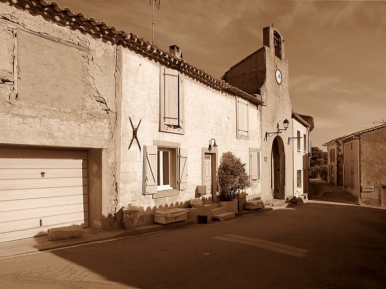
Photo: Olybrius, CC BY-SA 4.0.
Berriac is a commune in the Aude department in southern France. Berriac is situated 8 km northwest of Résidence Le Pré.
Résidence Le Pré
- Type: Neighborhood
- Category: locality
- Location: Aude, Occitanie, France, Europe
- View on OpenStreetMap
Latitude
43.18355° or 43° 11′ 1″ northLongitude
2.50826° or 2° 30′ 30″ eastOpen location code
8FM45GM5+C8OpenStreetMap ID
node 12382018771OpenStreetMap feature
place=neighbourhood
This page is based on OpenStreetMap, Wikidata, and Wikimedia Commons.
We’d love your help improving our open data sources. Thank you for contributing.
Satellite Map
Discover Résidence Le Pré from above in high-definition satellite imagery.
Localities in the Area
Explore places such as Lotissement de La Comelle and Lotissement Le Bouquet.
Notable Places Nearby
Highlights include Église Saint-Julien de Barbaira and Jardin public.
Aude: Must-Visit Destinations
Delve into Carcassonne, Narbonne, Limoux, and Leucate.
Curious Neighborhoods to Discover
Uncover intriguing neighborhoods from every corner of the globe.
About Mapcarta. Data © OpenStreetMap contributors and available under the Open Database License". Text is available under the CC BY-SA 4.0 license, except for photos, directions, and the map. Photo: MartinD, CC BY-SA 3.0.