CG3 – Forschungszentrum Gotha
CG3 – Forschungszentrum Gotha is an office in Gotha, Thuringia which is located on Schloßberg. CG3 – Forschungszentrum Gotha is situated nearby to the museum Lucas-Cranach-Haus, as well as near the government office Thüringer Landesamt für Bodenmanagement und Geoinformation - Zweigstelle Gotha.| Tap on a place to explore it |
- Type: Research
- Also known as: “CG3”
- Address: Schloßberg 2, Gotha, 99867
Places of Interest Nearby
Highlights include Altes Rathaus and Fischkeller.
Altes Rathaus
Town hall
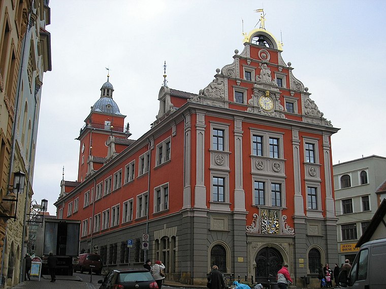
Photo: Michael Sander, CC BY-SA 3.0.
Altes Rathaus is a town hall, which is situated 160 metres north of CG3 – Forschungszentrum Gotha.


Places in the Area
Nearby places include Siebleben and Sundhausen.
Siebleben
Village
 Siebleben is a village, which is situated 3 km east of CG3 – Forschungszentrum Gotha.
Sundhausen
Suburb
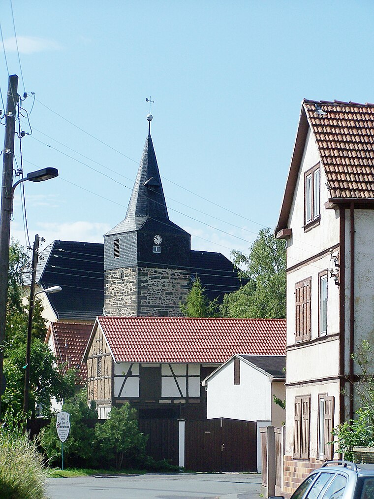
Photo: Metilsteiner, CC BY 3.0.
Sundhausen is a suburb, which is situated 3 km southwest of CG3 – Forschungszentrum Gotha.
Boilstädt
Village

Photo: CTHOE, CC BY-SA 3.0.
Boilstädt is a village, which is situated 3½ km south of CG3 – Forschungszentrum Gotha.
CG3 – Forschungszentrum Gotha
- Categories: office and education
- Location: Gotha, Gotha, Thuringia, Germany, Central Europe, Europe
- View on OpenStreetMap
Latitude
50.94762° or 50° 56′ 51″ northLongitude
10.70234° or 10° 42′ 8″ eastOperator
Universität ErfurtOpen location code
9F2GWPX2+2WOpenStreetMap ID
node 12384342395OpenStreetMap feature
office=research
This page is based on OpenStreetMap, Wikidata, and Wikimedia Commons.
We’d love your help improving our open data sources. Thank you for contributing.
Satellite Map
Discover CG3 – Forschungszentrum Gotha from above in high-definition satellite imagery.
Notable Places Nearby
Highlights include Lucas-Cranach-Haus and Thüringer Landesamt für Bodenmanagement und Geoinformation - Zweigstelle Gotha.
Nearby Places
Explore places such as Landschaftshaus and CG4 – Stipendiatenhaus.
Curious Places to Discover
Uncover intriguing places from every corner of the globe.
About Mapcarta. Data © OpenStreetMap contributors and available under the Open Database License". Text is available under the CC BY-SA 4.0 license, except for photos, directions, and the map. Photo: SchiDD, CC BY-SA 4.0.