Barbed Wire
Barbed Wire is a memorial in Bexar, Texas. Barbed Wire is situated nearby to the town hall San Antonio City Hall, as well as near the park Military Plaza.| Tap on a place to explore it |
Places of Interest Nearby
Highlights include Military Plaza and Cathedral of San Fernando.
Military Plaza
Park
The Military Plaza in San Antonio, Texas dates back to the 18th century as a military and commercial center in San Antonio. It is the location of San Antonio City Hall and the Spanish Governor's Palace.
Cathedral of San Fernando
Church

Photo: Dschwen, CC BY-SA 4.0.
San Fernando Cathedral also called the Cathedral of Our Lady of Candelaria and Guadalupe is a cathedral of the Catholic Church located in San Antonio, Texas, in the United States. Cathedral of San Fernando is situated 360 feet east of Barbed Wire.
Spanish Governor’s Palace
Museum

Photo: Wikimedia, CC BY-SA 4.0.
The Spanish Governor's Palace is a historic adobe from the Spanish Texas period located in Downtown San Antonio. It is the last visible trace of the 18th-century colonial Presidio San Antonio de Béxar complex, and the only remaining example in Texas of an aristocratic 18th-century Spanish Colonial in−town residence.
Places in the Area
Nearby places include San Antonio and La Villita.
San Antonio

Photo: 归零者, CC BY-SA 4.0.
San Antonio is the second largest city in the state of Texas and the 7th largest in the United States. It's the 24th largest metropolitan area in the country.
La Villita
Neighborhood
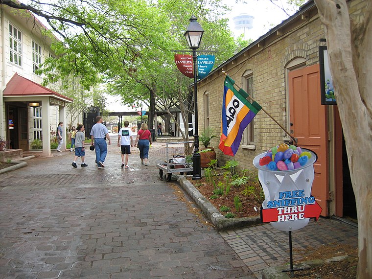
Photo: Johnpeter2008, Public domain.
La Villita Historic Arts Village is an art community in downtown San Antonio, Texas, United States. There are art galleries, stores selling souvenirs, gifts, custom jewelry, pottery, and imported Mexican folk art, as well as several restaurants in the district.
Olmos Park
Village
Olmos Park is a city in Bexar County, Texas, United States. The population was 2,180 at the 2020 census. The town is noted for its park-like setting, oak-tree lined streets, and large estates, many of which were constructed during the 1920s. Olmos Park is situated 4 miles north of Barbed Wire.
Barbed Wire
- Type: Memorial
- Category: historic site
- Location: Bexar, Texas, United States, North America
- View on OpenStreetMap
Latitude
29.42435° or 29° 25′ 28″ northLongitude
-98.4953° or 98° 29′ 43″ westInception
1971Operator
Texas Historical CommissionOpen location code
76X3CGF3+PVOpenStreetMap ID
node 12395184241OpenStreetMap feature
historic=memorial
This page is based on OpenStreetMap, Wikidata, and Wikimedia Commons.
We’d love your help improving our open data sources. Thank you for contributing.
Satellite Map
Discover Barbed Wire from above in high-definition satellite imagery.
Places with the Same Name
Discover other places named “Barbed Wire”.
Notable Places Nearby
Highlights include San Antonio City Hall and Cadena-Reeves Justice Center.
Nearby Places
Explore places such as Plaza De Armas (Military Plaza) and Jose Francisco Ruiz.
Texas: Must-Visit Destinations
Delve into Houston, Austin, Dallas, and San Antonio.
Curious Memorials to Discover
Uncover intriguing memorials from every corner of the globe.
About Mapcarta. Data © OpenStreetMap contributors and available under the Open Database License". Text is available under the CC BY-SA 4.0 license, except for photos, directions, and the map. Photo: Wikimedia, CC0.