Cerca de Santa Ana
Cerca de Santa Ana is a locality in Aracena, Huelva, Andalusia. Cerca de Santa Ana is situated nearby to the locality Almodóvar, as well as near Las Barquerillas.| Tap on a place to explore it |
Places of Interest
Highlights include Iglesia de San Pedro y San Pablo and Lavadero del Puerto.
Iglesia de San Pedro y San Pablo
Church
 Iglesia de San Pedro y San Pablo is a church, which is situated 3 km south of Cerca de Santa Ana.
Lavadero del Puerto
Building

Photo: 19Tarrestnom65, CC BY-SA 4.0.
Lavadero del Puerto is a building, which is situated 3½ km southwest of Cerca de Santa Ana.
Places in the Area
Nearby places include Puerto Moral and Corteconcepción.
Puerto Moral
Village

Photo: 19Tarrestnom65, CC BY-SA 4.0.
Puerto Moral is a town and municipality located in the province of Huelva, Spain. According to the 2008 census, the municipality had a population of 273 inhabitants. Puerto Moral is situated 3 km south of Cerca de Santa Ana.
Corteconcepción
Village

Photo: Martusk88, CC BY-SA 3.0.
Corteconcepción is a town and municipality located in the province of Huelva, Spain. According to the 2005 census, it has a population of 620 inhabitants and covers a 49 km2 area. It sits at an altitude of 572 m above sea level, and is 114 km from the capital. Corteconcepción is situated 4 km southwest of Cerca de Santa Ana.
Carboneras
Hamlet
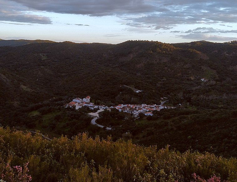
Photo: Xiroux, CC BY-SA 4.0.
Carboneras is a hamlet, which is situated 6 km west of Cerca de Santa Ana.
Cerca de Santa Ana
Latitude
37.92003° or 37° 55′ 12″ northLongitude
-6.47578° or 6° 28′ 33″ westOpen location code
8C9MWGCF+2MOpenStreetMap ID
node 1241321079OpenStreetMap feature
place=locality
This page is based on OpenStreetMap, Wikidata, and Wikimedia Commons.
We’d love your help improving our open data sources. Thank you for contributing.
Satellite Map
Discover Cerca de Santa Ana from above in high-definition satellite imagery.
Localities in the Area
Explore places such as Santa Ana and Almodóvar.
Notable Places Nearby
Highlights include El lago verde and Central Hidroeléctrica Embalse de Aracena.
Huelva: Must-Visit Destinations
Delve into Huelva, Palos de la Frontera, Culturally significant landscapes in Huelva, and Almonaster la Real.
Curious Localities to Discover
Uncover intriguing localities from every corner of the globe.
About Mapcarta. Data © OpenStreetMap contributors and available under the Open Database License". Text is available under the CC BY-SA 4.0 license, except for photos, directions, and the map. Photo: Wikimedia, CC0.