Las Corraleras
Las Corraleras is a locality in Osuna, Seville, Andalusia. Las Corraleras is situated nearby to the locality San Lucas, as well as near Llanos de Antequera.| Tap on a place to explore it |
Places of Interest
Highlights include Urso and El Coto Las Canteras.

El Coto Las Canteras
Park

Photo: Anna Maj Michelson, CC BY 2.0.
El Coto Las Canteras is a park, which is situated 3 km northwest of Las Corraleras.
Torre del Agua
Museum

Photo: Wikimedia, CC BY-SA 3.0.
Torre del Agua is a museum, which is situated 2½ km west of Las Corraleras.
Places in the Area
Nearby places include Osuna and Aguadulce.
Osuna
Town
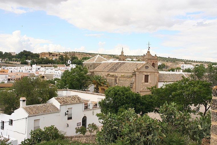
Photo: Wikimedia, CC BY-SA 2.0.
Osuna is a town and municipality in the province of Seville, southern Spain, in the autonomous community of Andalusia. As of 2009, it has a population of c. Osuna is situated 3 km west of Las Corraleras.
Aguadulce
Village

Photo: CarlosVdeHabsburgo, CC BY-SA 4.0.
Aguadulce is a municipality in Seville. In 2005, it had a population of 1,993. It has an area of 13.98 square kilometers and has a population density of 142.4 people per square kilometer. Aguadulce is situated 8 km east of Las Corraleras.
Las Corraleras
Latitude
37.22794° or 37° 13′ 41″ northLongitude
-5.07433° or 5° 4′ 28″ westOpen location code
8C9P6WHG+57OpenStreetMap ID
node 1241618137OpenStreetMap feature
place=locality
This page is based on OpenStreetMap, Wikidata, and Wikimedia Commons.
We’d love your help improving our open data sources. Thank you for contributing.
Satellite Map
Discover Las Corraleras from above in high-definition satellite imagery.
Places with the Same Name
Discover other places named “Las Corraleras”.
Localities in the Area
Explore places such as San Lucas and Llanos de Antequera.
Notable Places Nearby
Highlights include Hospital Comarcal de la Merced and Necrópolis de Osuna.
Seville: Must-Visit Destinations
Delve into Seville, Santiponce, and Sierra Norte.
Curious Localities to Discover
Uncover intriguing localities from every corner of the globe.
About Mapcarta. Data © OpenStreetMap contributors and available under the Open Database License". Text is available under the CC BY-SA 4.0 license, except for photos, directions, and the map. Photo: Wikimedia, CC0.