Pales der Estanh Cabrit
Pales der Estanh Cabrit is a locality in Vielha e Mijaran, Lleida, Catalonia. Pales der Estanh Cabrit is situated nearby to the locality Aubaga de Mont, as well as near Pala de Crabèra.| Tap on a place to explore it |
Places of Interest
Highlights include Estanh des Trueites and Tuc dera Coma d’Auran.


Cabeza de Coll
Mountain saddle

Photo: Efrainlarrea, CC BY-SA 4.0.
Cabeza de Coll is a mountain saddle, which is situated 2½ km east of Pales der Estanh Cabrit.
Places in the Area
Nearby places include Val d’Aran and Mont.
Val d’Aran

Photo: Isidre blanc, CC BY-SA 4.0.
Val d'Aran is a community of about 10,000 people in the Pyrenees mountains, in the northwestern part of the province of Lleida, in Catalonia. This valley constitutes one of only two areas of Spain that are on the northern side of the Pyrenees.
Mont
Hamlet
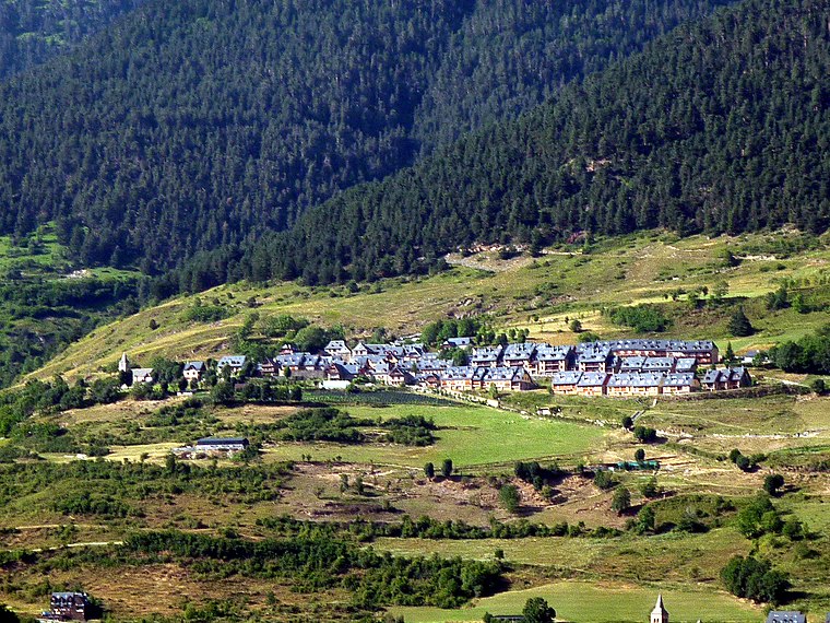
Photo: Isidre blanc, CC BY-SA 4.0.
Mont is a locality located in the municipality of Vielha e Mijaran, in Province of Lleida province, Catalonia, Spain. As of 2020, it has a population of 78. Mont is situated 6 km southwest of Pales der Estanh Cabrit.
Montcorbau
Hamlet

Photo: Isidre blanc, CC BY-SA 4.0.
Montcorbau is a locality located in the municipality of Vielha e Mijaran, in Province of Lleida province, Catalonia, Spain. As of 2020, it has a population of 19. Montcorbau is situated 6 km southwest of Pales der Estanh Cabrit.
Pales der Estanh Cabrit
- Type: Locality
- Location: Vielha e Mijaran, Lleida, Catalonia, Eastern Spain, Spain, Iberia, Europe
- View on OpenStreetMap
Latitude
42.75405° or 42° 45′ 15″ northLongitude
0.85594° or 0° 51′ 21″ eastOpen location code
8FJ2QV34+J9OpenStreetMap ID
node 1241622307OpenStreetMap feature
place=locality
This page is based on OpenStreetMap, Wikidata, and Wikimedia Commons.
We’d love your help improving our open data sources. Thank you for contributing.
Satellite Map
Discover Pales der Estanh Cabrit from above in high-definition satellite imagery.
In Other Languages
From Catalan to Occitan—“Pales der Estanh Cabrit” goes by many names.
- Catalan: “Pales der Estanh Cabrit”
- Occitan (post 1500): “Pales der Estanh Cabrit”
Localities in the Area
Explore places such as Aubaga de Mont and Pala de Crabèra.
Notable Places Nearby
Highlights include Tuc de Samont and Tuc Nere.
Lleida: Must-Visit Destinations
Delve into Lleida, Val d’Aran, La Seu d’Urgell, and Aigüestortes i Estany de Sant Maurici National Park.
Curious Localities to Discover
Uncover intriguing localities from every corner of the globe.
About Mapcarta. Data © OpenStreetMap contributors and available under the Open Database License". Text is available under the CC BY-SA 4.0 license, except for photos, directions, and the map. Photo: Wikimedia, CC0.