Estèrra Safosta
Estèrra Safosta is a locality in Vielha e Mijaran, Lleida, Catalonia. Estèrra Safosta is situated nearby to the locality Sarat, as well as near the neighborhood Santa Gemma.| Tap on a place to explore it |
Places of Interest
Highlights include Sant Feliu de Vilac and Santa Maria de Mijaran.

Santa Maria de Mijaran
Church

Photo: Isidre blanc, CC BY-SA 4.0.
Santa Maria de Mijaran is a church.

Places in the Area
Nearby places include Santa Gemma and Vilac.

Vilac
Hamlet

Photo: Isidre blanc, CC BY-SA 4.0.
Vilac is a locality and decentralized municipal entity located in the municipality of Vielha e Mijaran, in Province of Lleida province, Catalonia, Spain. As of 2020, it has a population of 223.
Mont
Hamlet
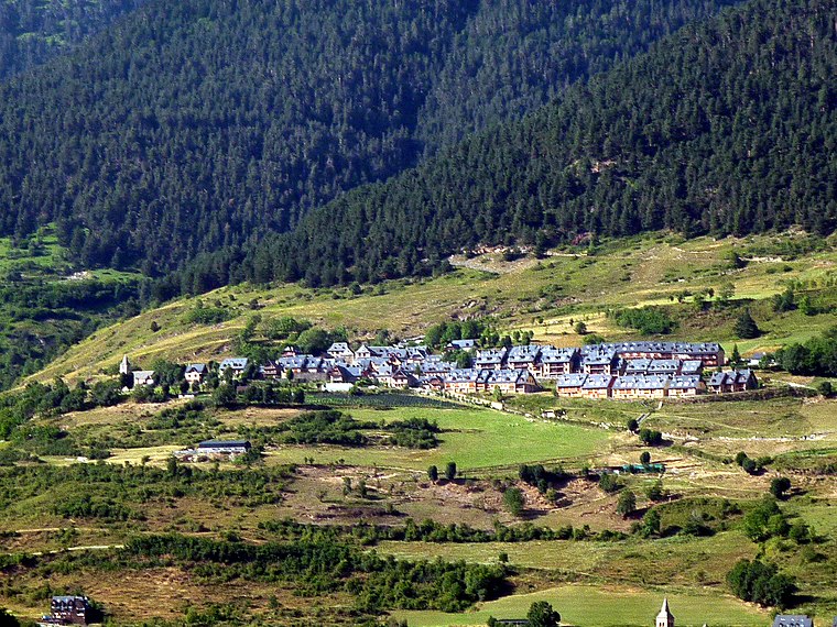
Photo: Isidre blanc, CC BY-SA 4.0.
Mont is a locality located in the municipality of Vielha e Mijaran, in Province of Lleida province, Catalonia, Spain. As of 2020, it has a population of 78.
Estèrra Safosta
- Type: Locality
- Location: Vielha e Mijaran, Lleida, Catalonia, Eastern Spain, Spain, Iberia, Europe
- View on OpenStreetMap
Latitude
42.71788° or 42° 43′ 4″ northLongitude
0.80486° or 0° 48′ 18″ eastOpen location code
8FJ2PR93+5WOpenStreetMap ID
node 1241636792OpenStreetMap feature
place=locality
This page is based on OpenStreetMap, Wikidata, and Wikimedia Commons.
We’d love your help improving our open data sources. Thank you for contributing.
Satellite Map
Discover Estèrra Safosta from above in high-definition satellite imagery.
Localities in the Area
Explore places such as Sarat and Era Clòsa.
Notable Places Nearby
Highlights include Comissaria dels Mossos d’Esquadra a Vielha e Mijaran and Plaça dera Glèsia.
Lleida: Must-Visit Destinations
Delve into Lleida, Val d’Aran, La Seu d’Urgell, and Aigüestortes i Estany de Sant Maurici National Park.
Curious Localities to Discover
Uncover intriguing localities from every corner of the globe.
About Mapcarta. Data © OpenStreetMap contributors and available under the Open Database License". Text is available under the CC BY-SA 4.0 license, except for photos, directions, and the map. Photo: Wikimedia, CC0.