Los Polancares
Los Polancares is a locality in Benacazón, Seville, Andalusia. Los Polancares is situated nearby to the locality Rebujena, as well as near Molino de Viento.| Tap on a place to explore it |
Places of Interest
Highlights include Benacazón train station and Ermita de Nuestra Señora de Cuatrovitas.
Benacazón train station
Railway station

Photo: Manublume, CC BY-SA 3.0.
Benacazón train station is a railway station, which is situated 3 km north of Los Polancares.
Ermita de Nuestra Señora de Cuatrovitas
Church

Photo: T.coyma, CC BY-SA 3.0 es.
Ermita de Nuestra Señora de Cuatrovitas is a church, which is situated 4 km south of Los Polancares.
Abades Benacazón
Hotel

Photo: CarlosVdeHabsburgo, CC BY-SA 4.0.
Abades Benacazón is a hotel, which is situated 3½ km north of Los Polancares.
Places in the Area
Nearby places include Aznalcázar and Bollullos de la Mitación.
Aznalcázar
Village

Photo: CarlosVdeHabsburgo, CC BY-SA 4.0.
Aznalcázar is a town located in the province of Seville, southern Spain. It is only 20 minutes away from Seville, and is one of the 13 towns located in Doñana National Park, one of Spain's most important national parks and wildlife reserves. Aznalcázar is situated 5 km southwest of Los Polancares.
Bollullos de la Mitación
Town
 Bollullos de la Mitación is a town located in the province of Seville, Spain. According to the 2006 census by the, the city has a population of 7084 inhabitants. Bollullos de la Mitación is situated 6 km east of Los Polancares.
Umbrete
Village
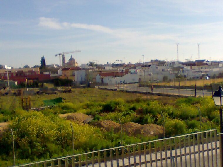
Photo: Frobles, CC BY-SA 4.0.
Umbrete is a city located in the province of Seville, Spain. According to the 2005 census, the city has a population of 5,797 inhabitants. Umbrete is situated 6 km northeast of Los Polancares.
Los Polancares
Latitude
37.33047° or 37° 19′ 50″ northLongitude
-6.19956° or 6° 11′ 58″ westOpen location code
8C9M8RJ2+55OpenStreetMap ID
node 1241656100OpenStreetMap feature
place=locality
This page is based on OpenStreetMap, Wikidata, and Wikimedia Commons.
We’d love your help improving our open data sources. Thank you for contributing.
Satellite Map
Discover Los Polancares from above in high-definition satellite imagery.
Localities in the Area
Explore places such as Rebujena and Molino de Viento.
Notable Places Nearby
Highlights include Plaza de la Libertad and Parroquia Nuestra Señora de las Nieves.
Seville: Must-Visit Destinations
Delve into Seville, Santiponce, and Sierra Norte.
Curious Localities to Discover
Uncover intriguing localities from every corner of the globe.
About Mapcarta. Data © OpenStreetMap contributors and available under the Open Database License". Text is available under the CC BY-SA 4.0 license, except for photos, directions, and the map. Photo: Wikimedia, CC0.